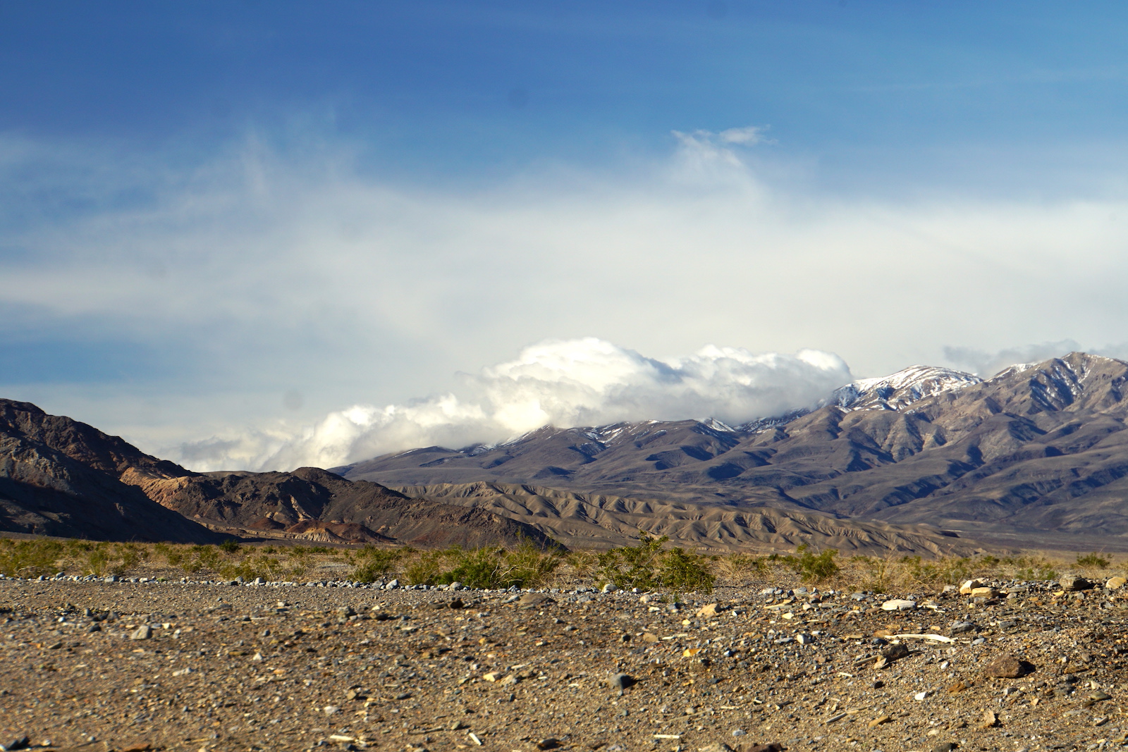
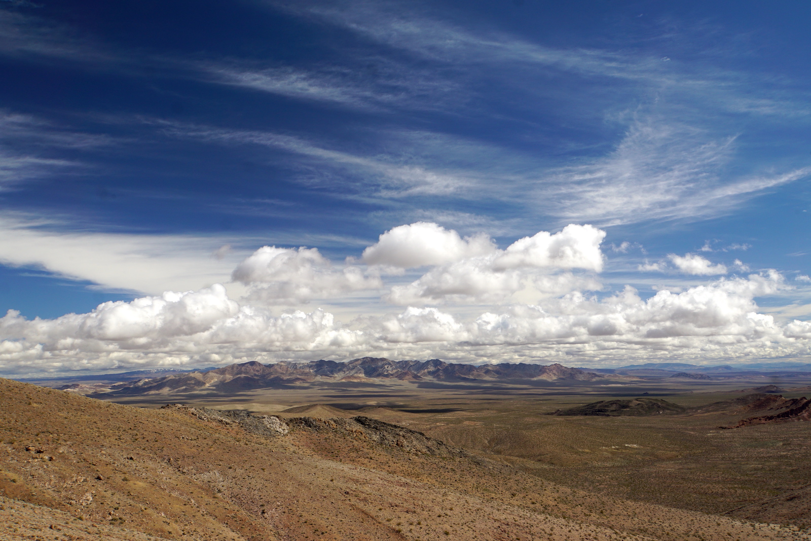
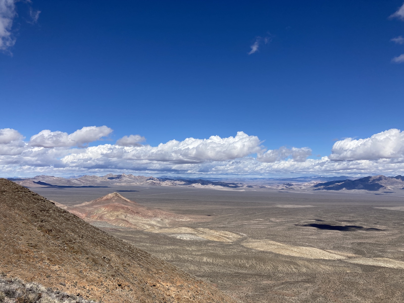
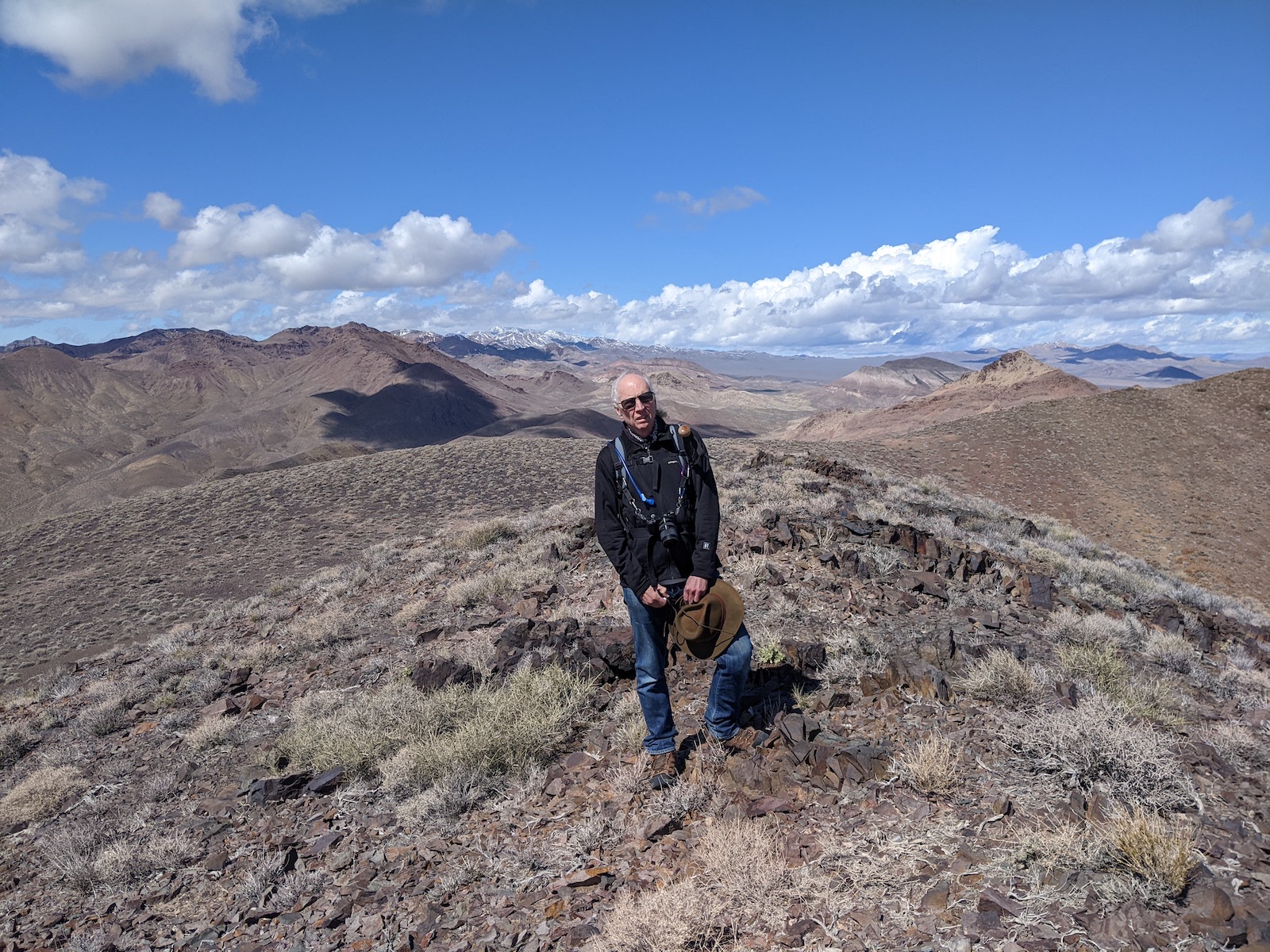
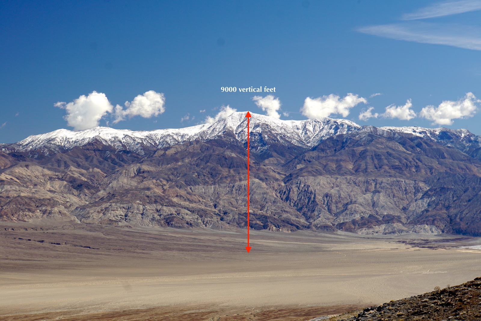
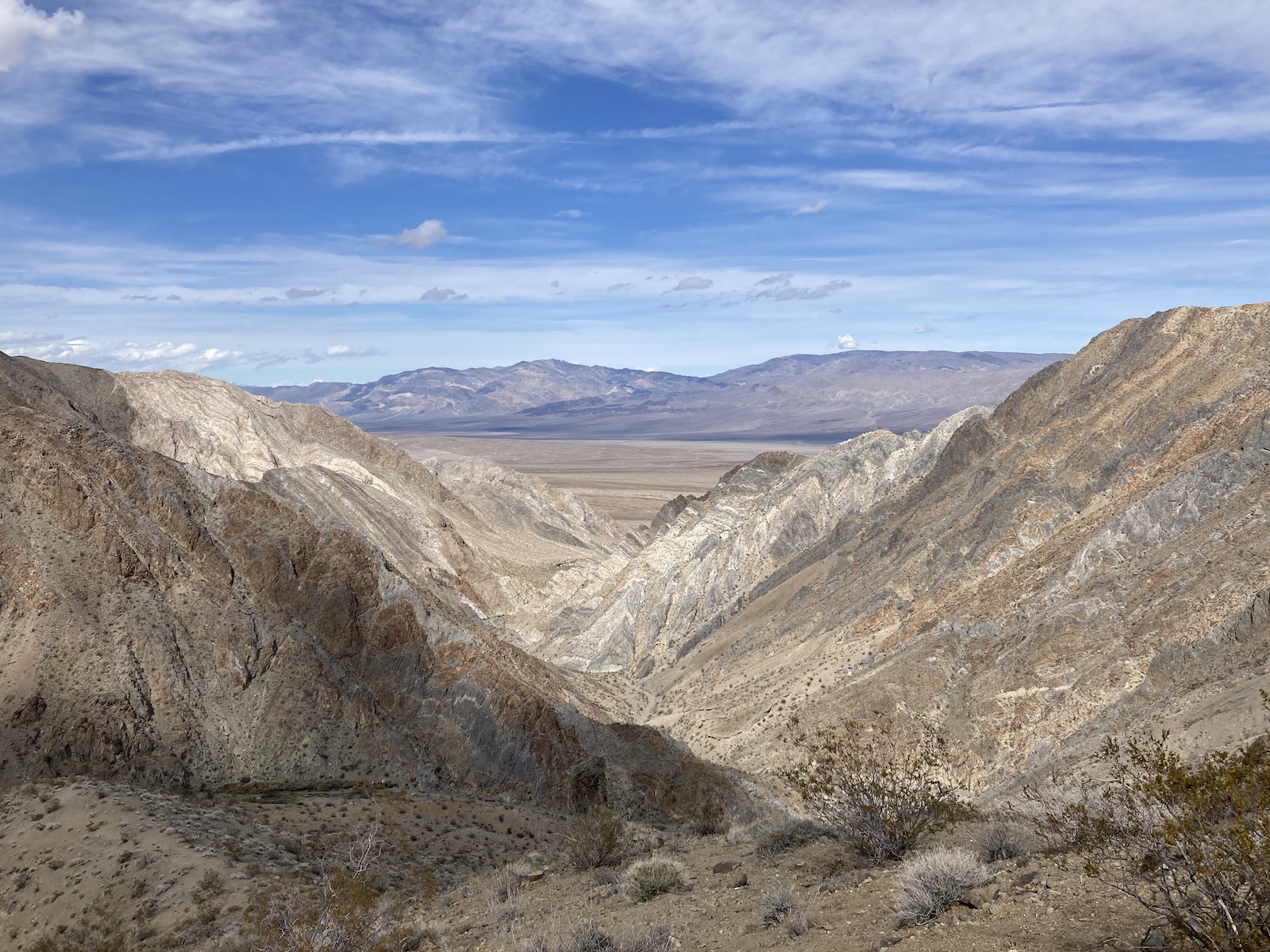
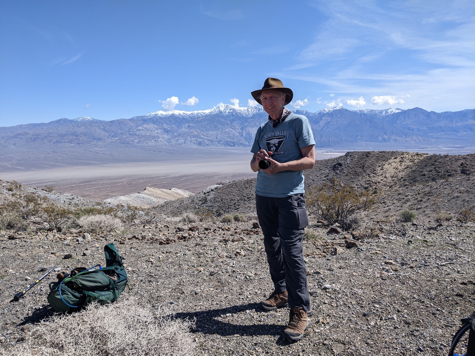
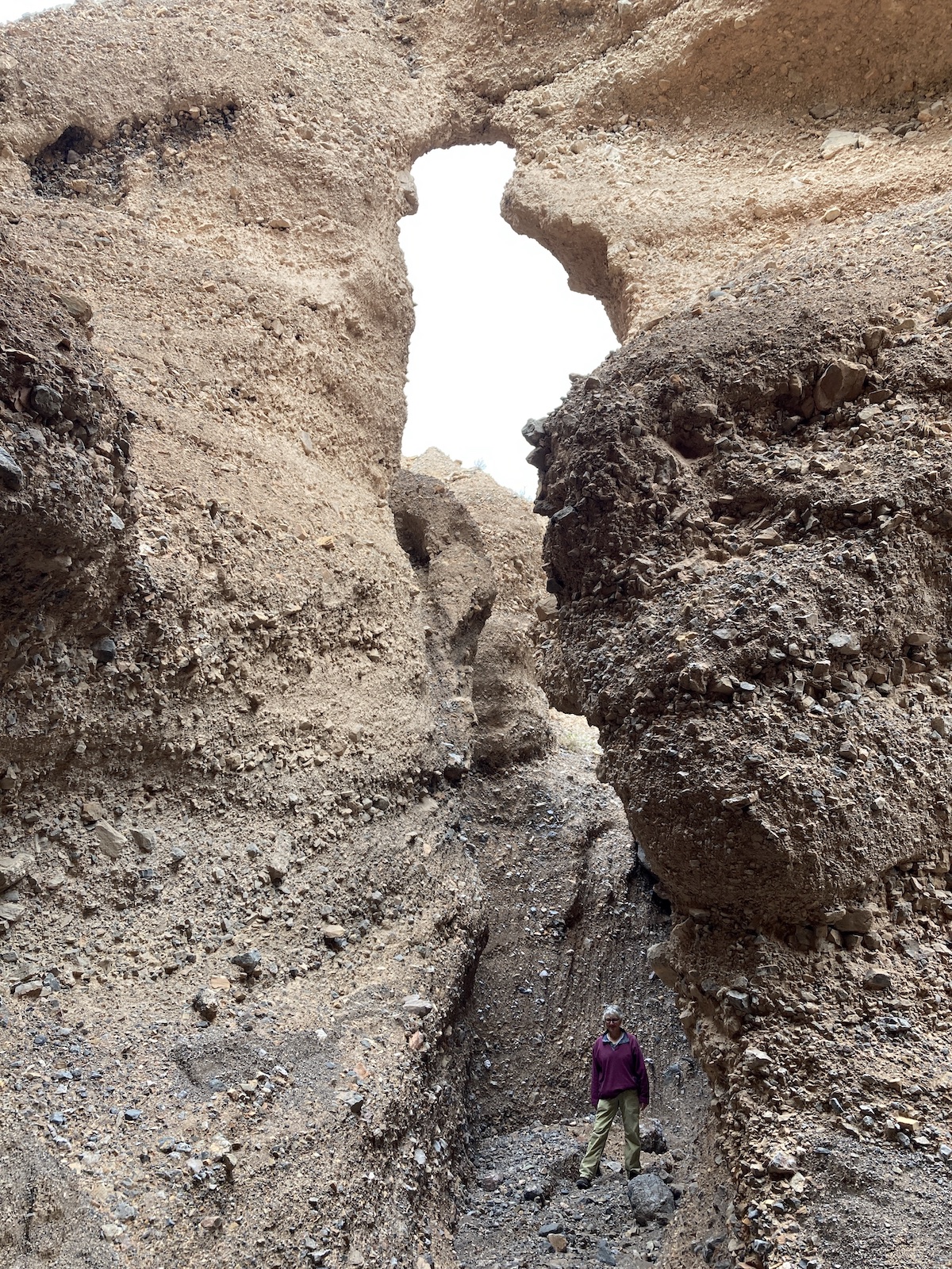
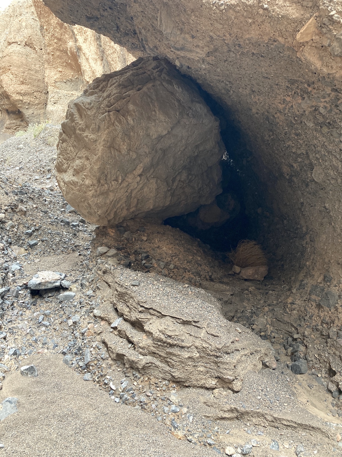
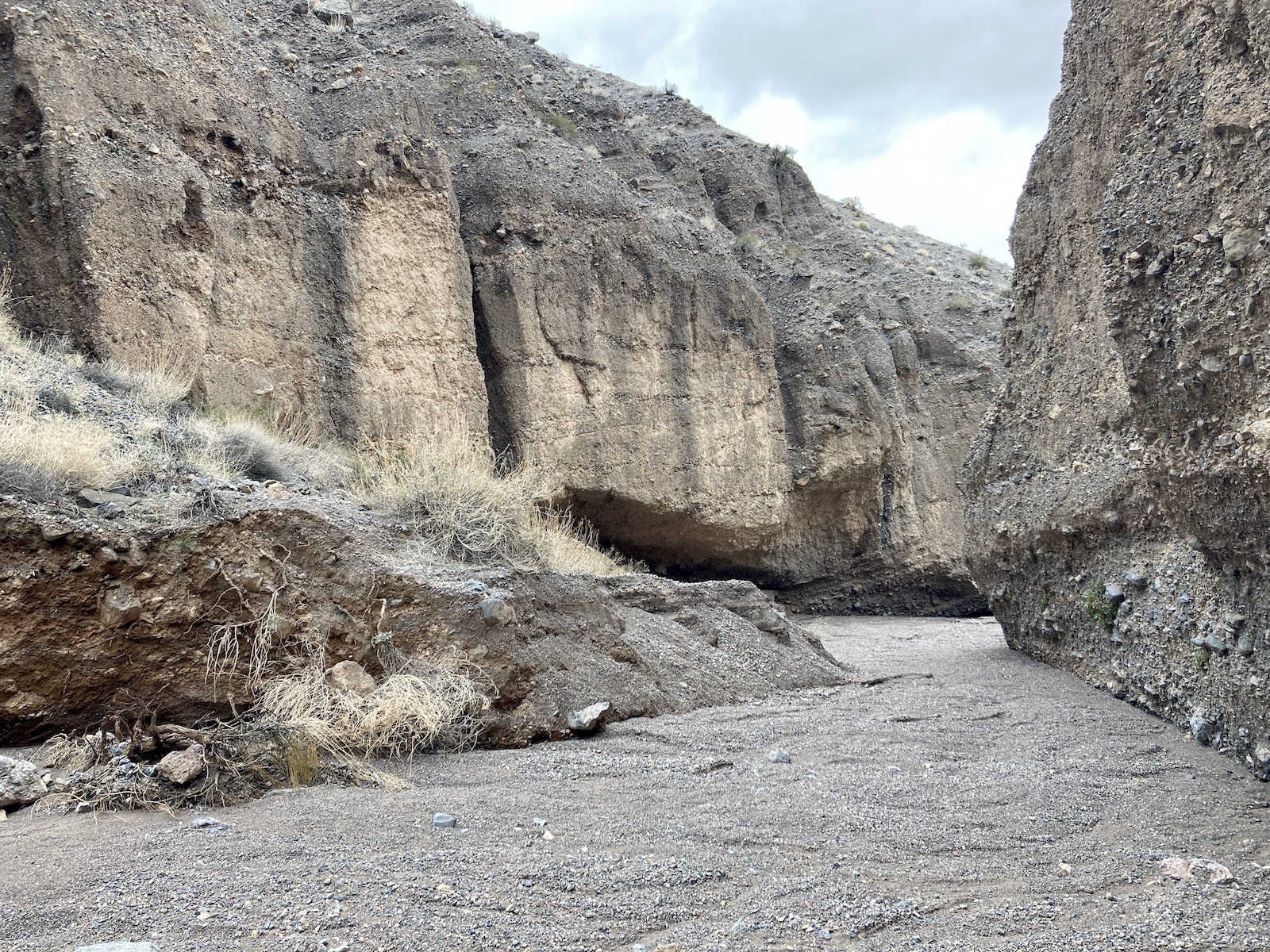
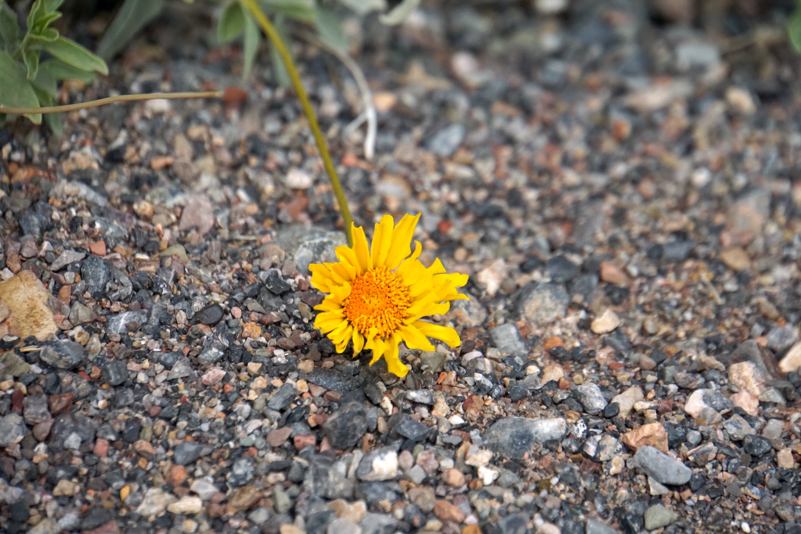
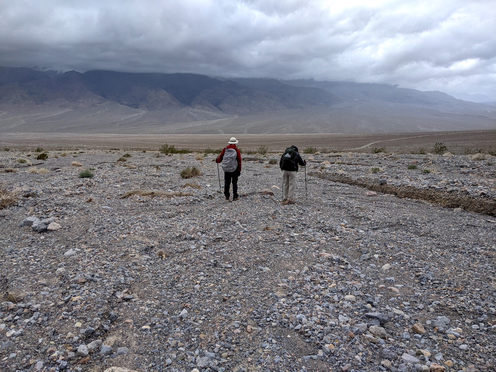
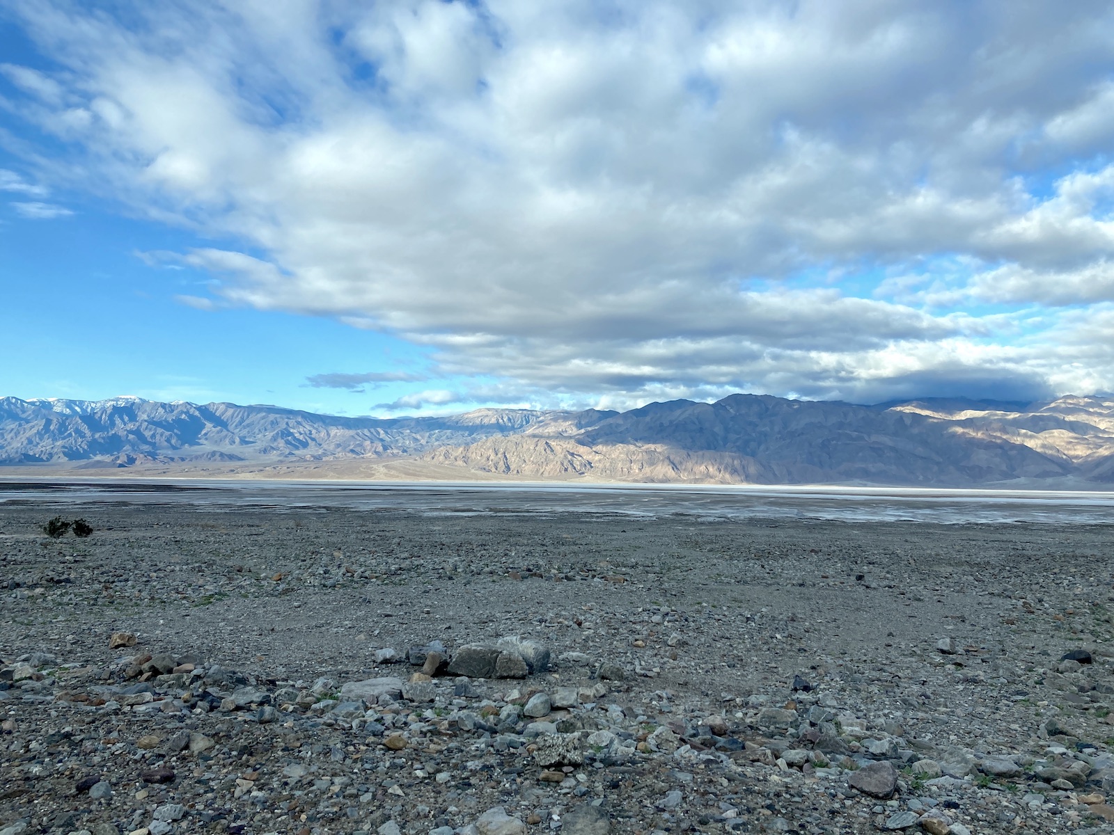
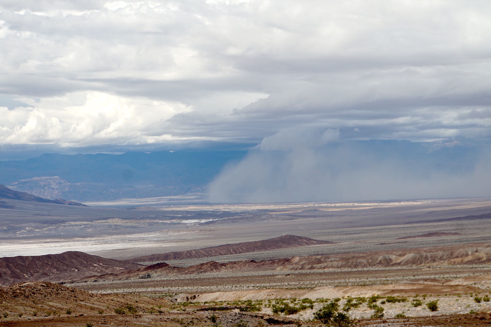
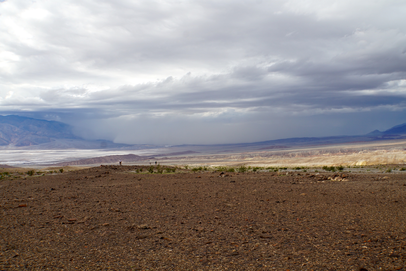
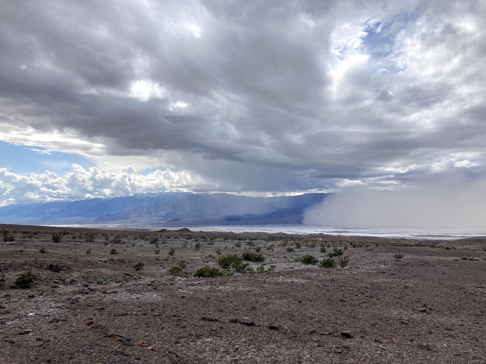
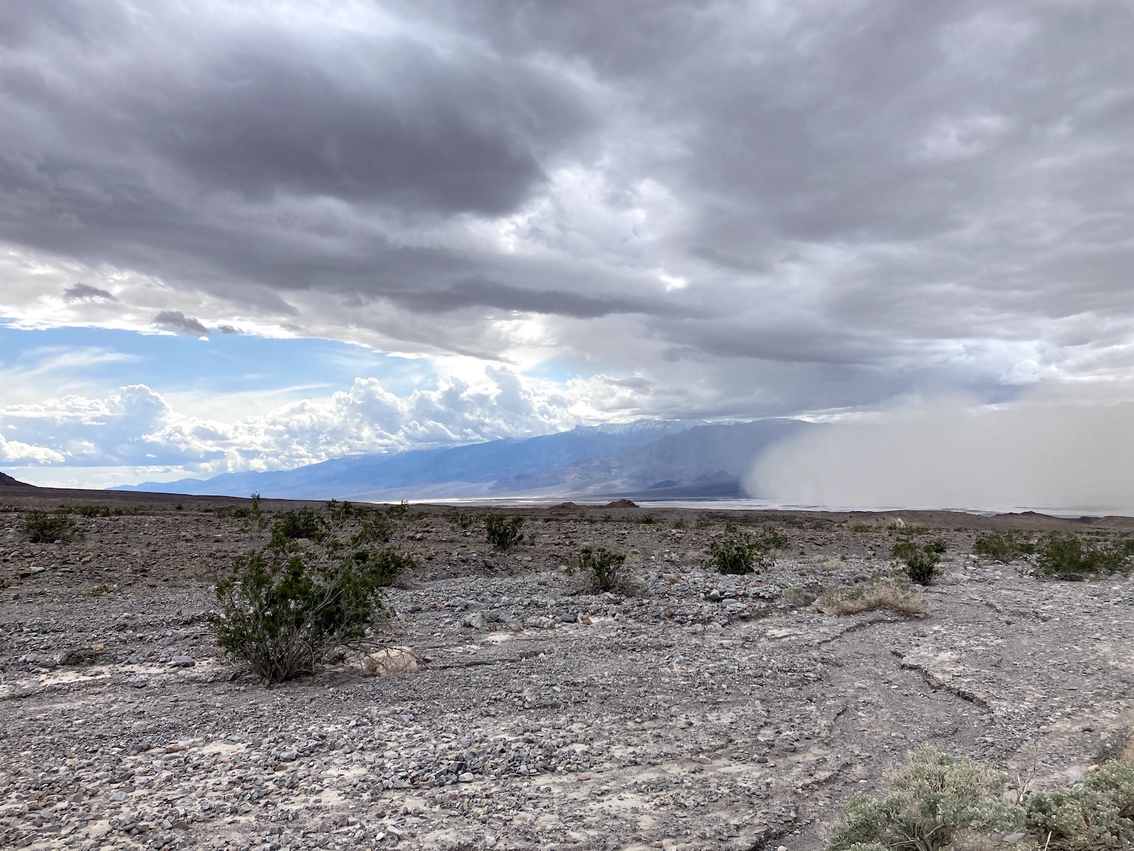
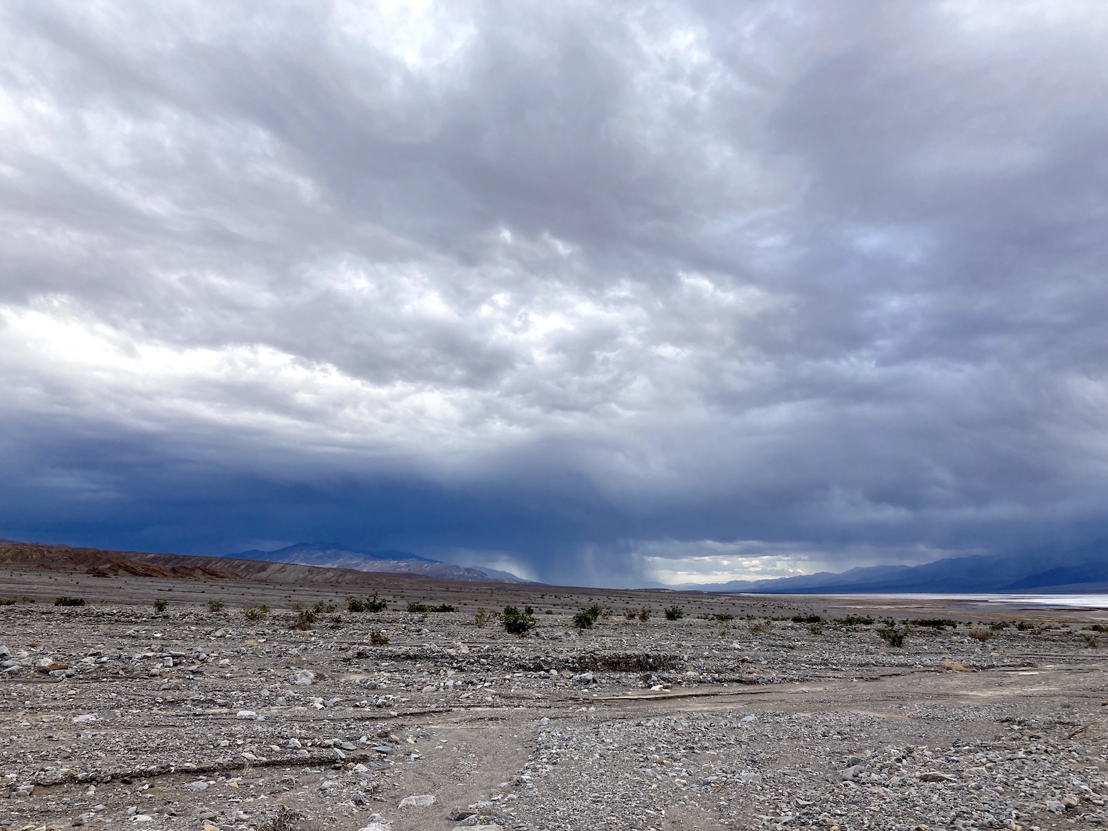
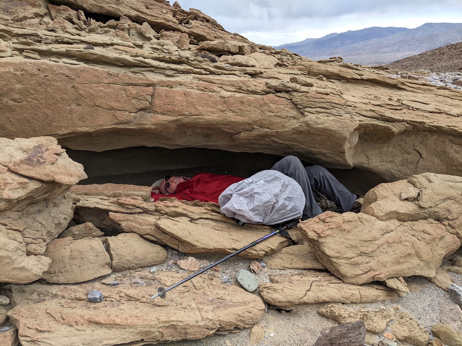
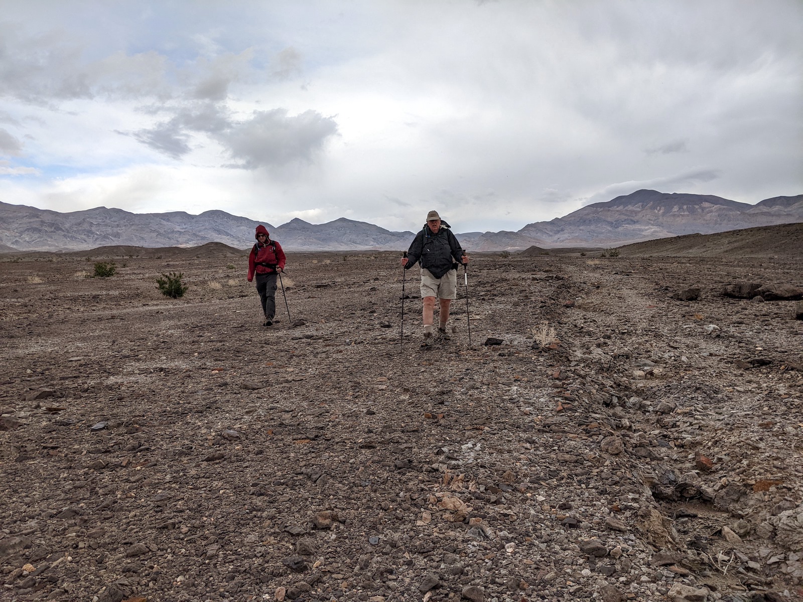
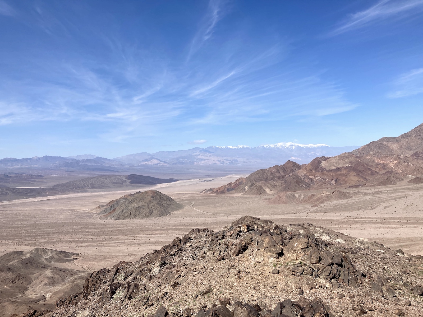
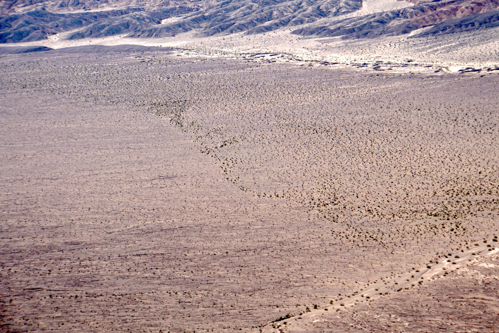
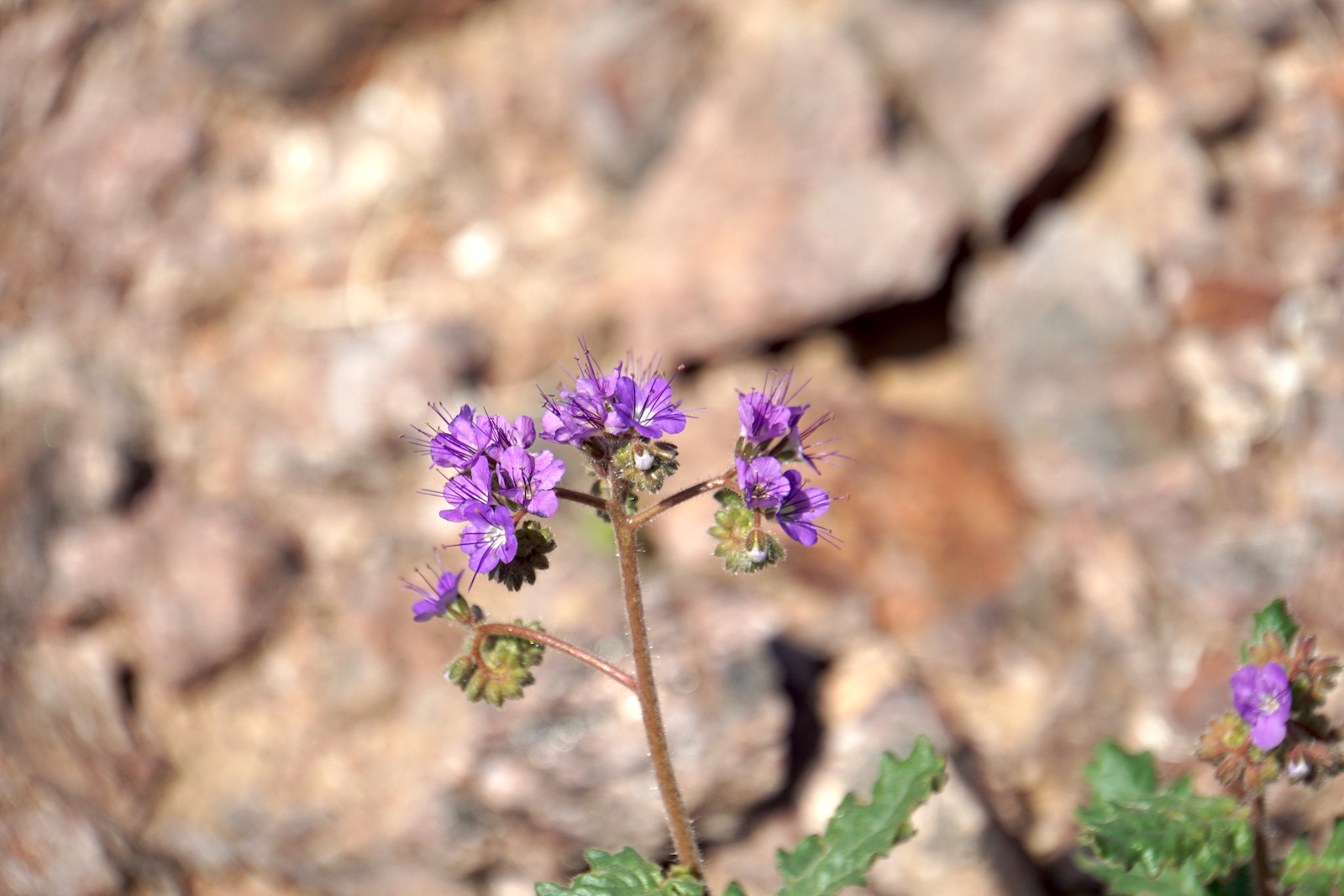
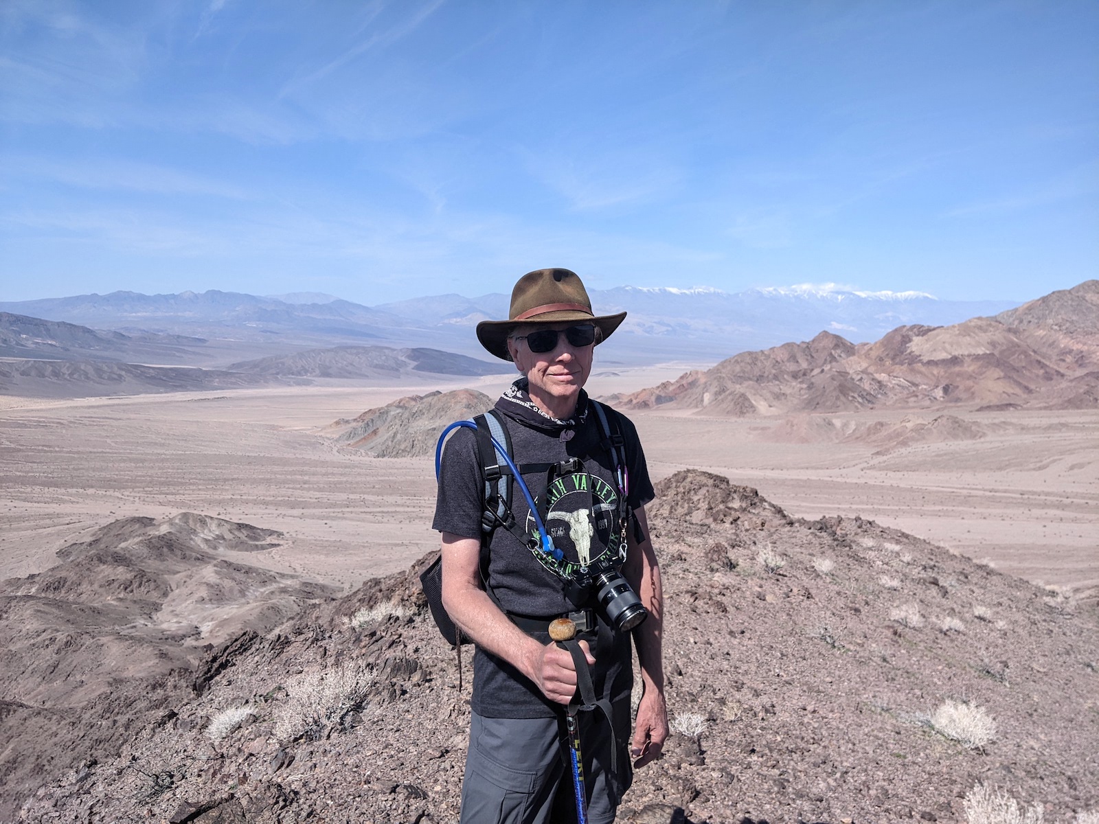
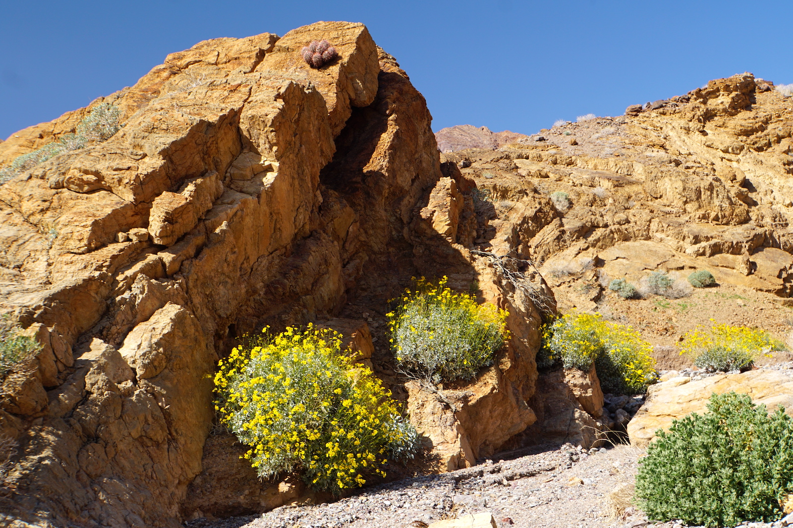
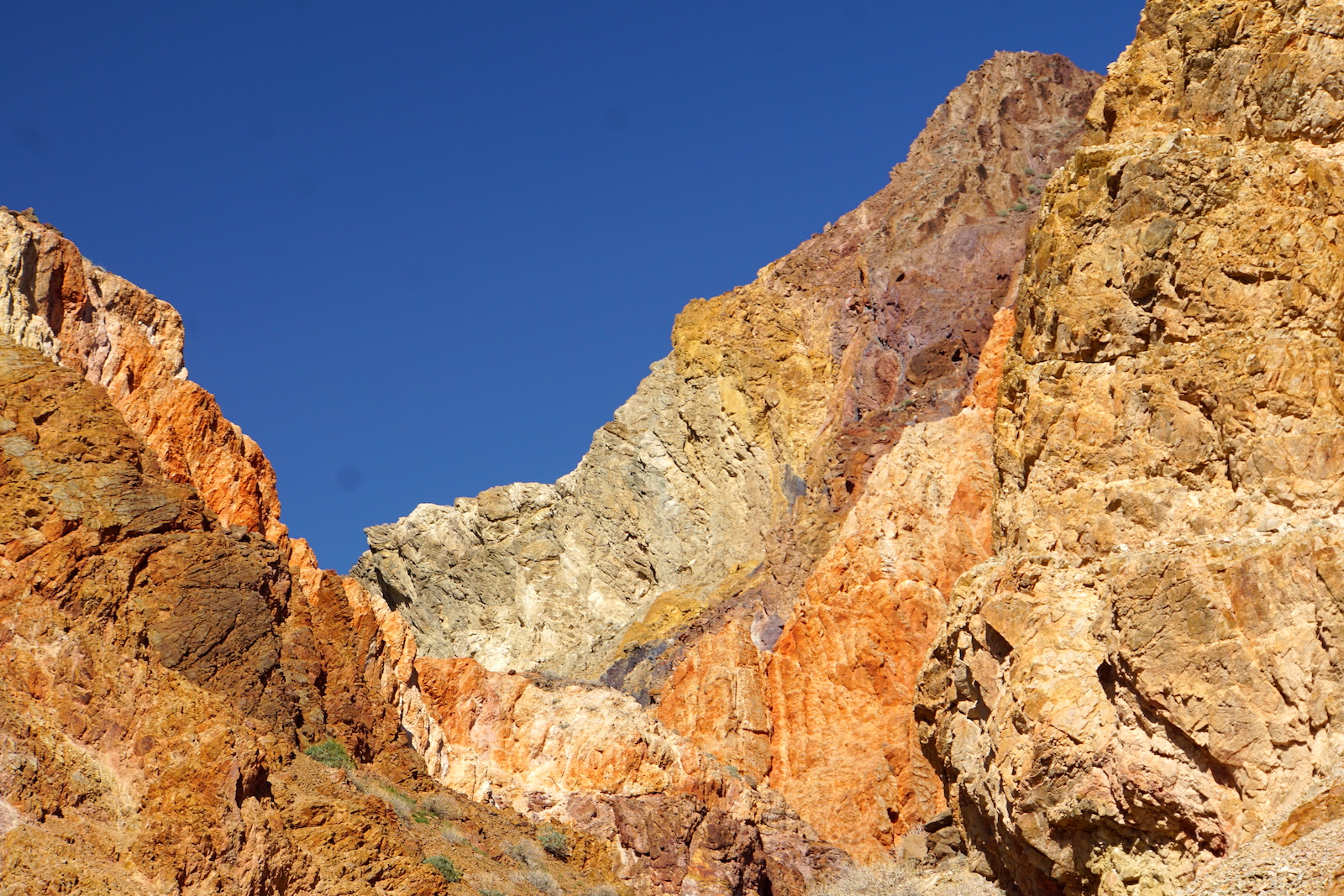
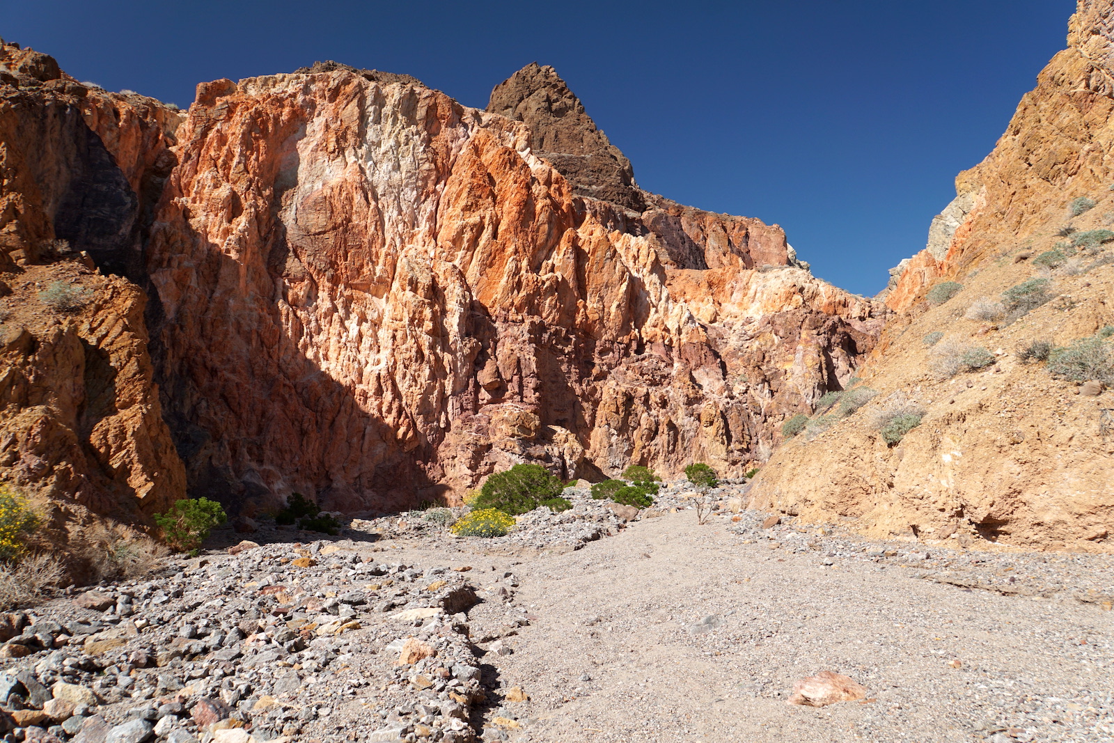
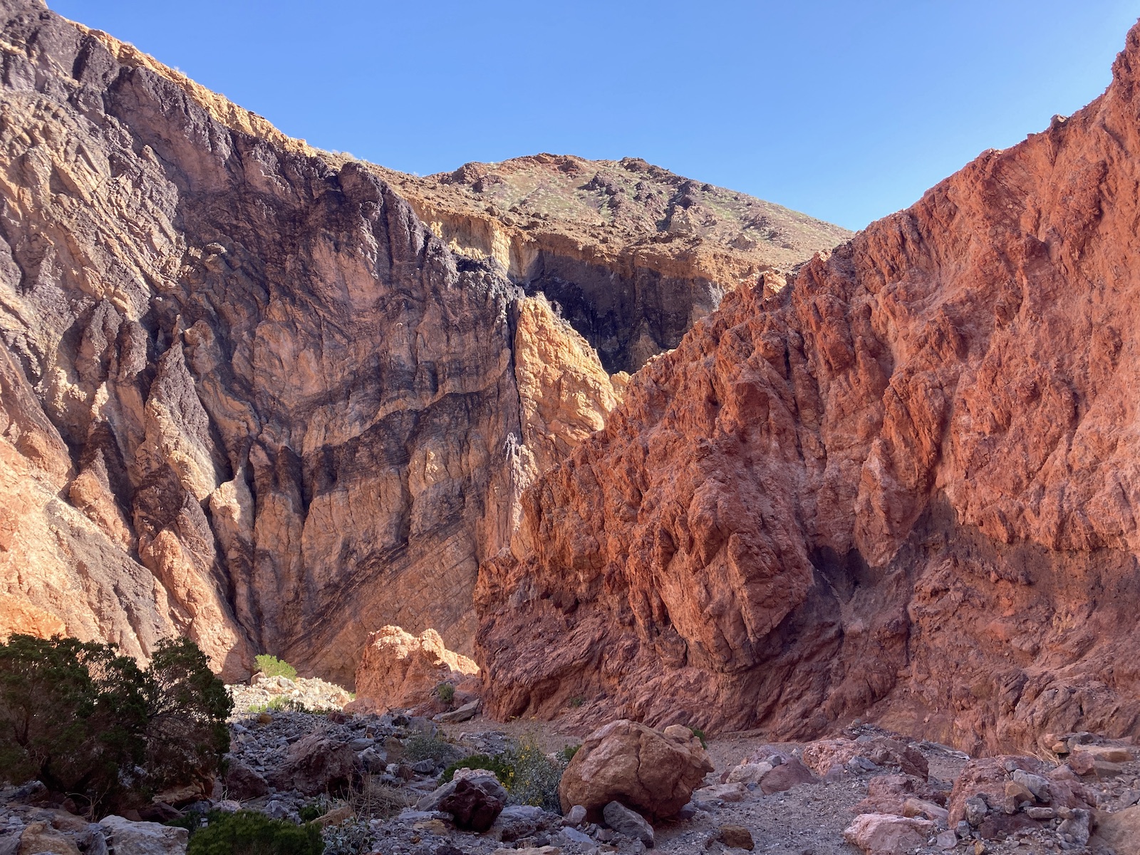
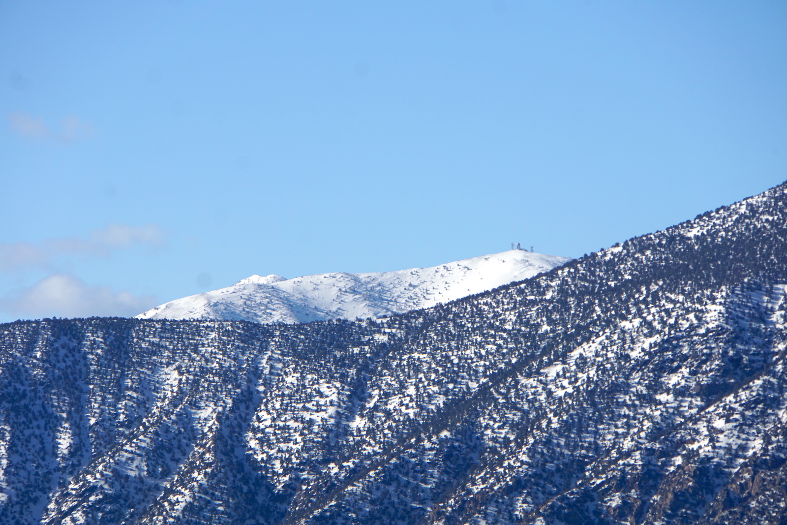
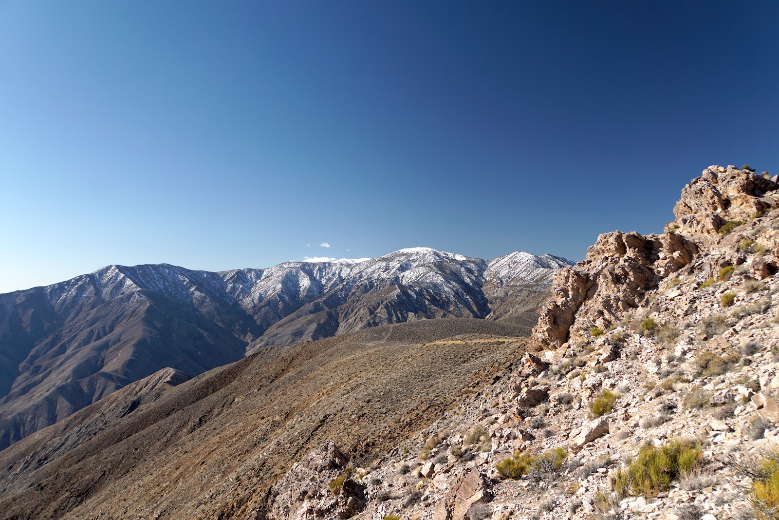
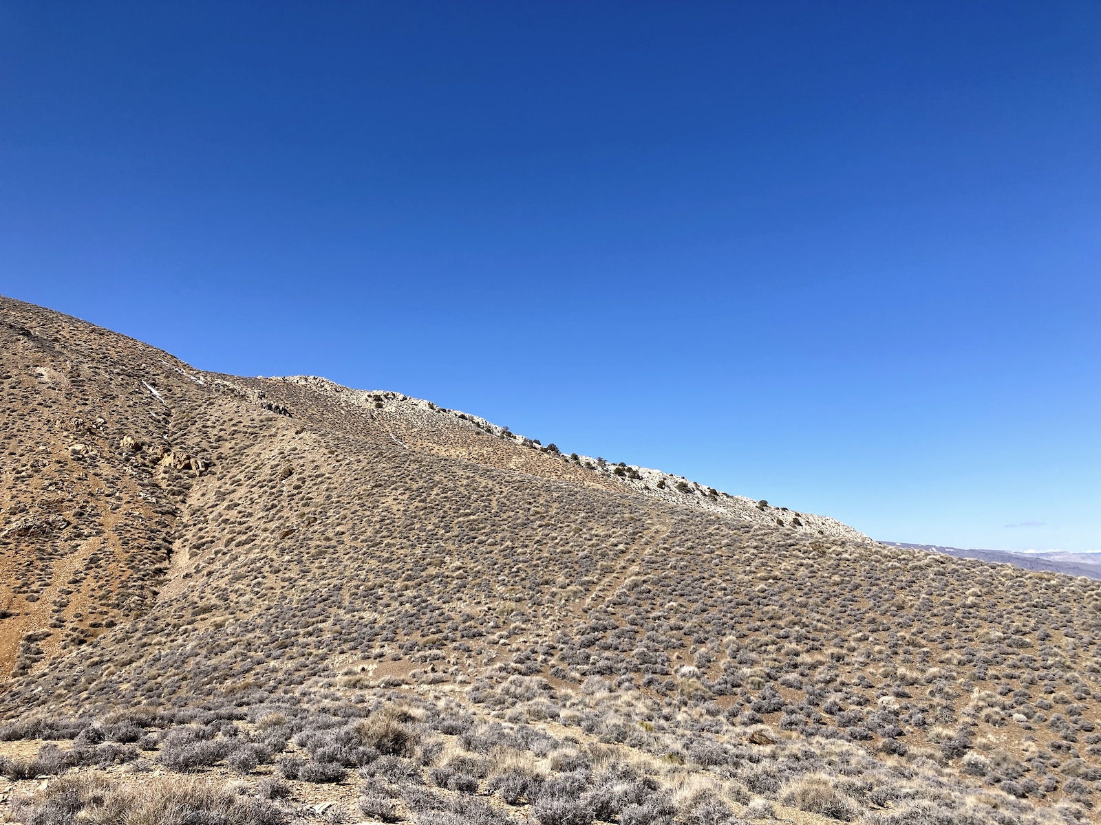
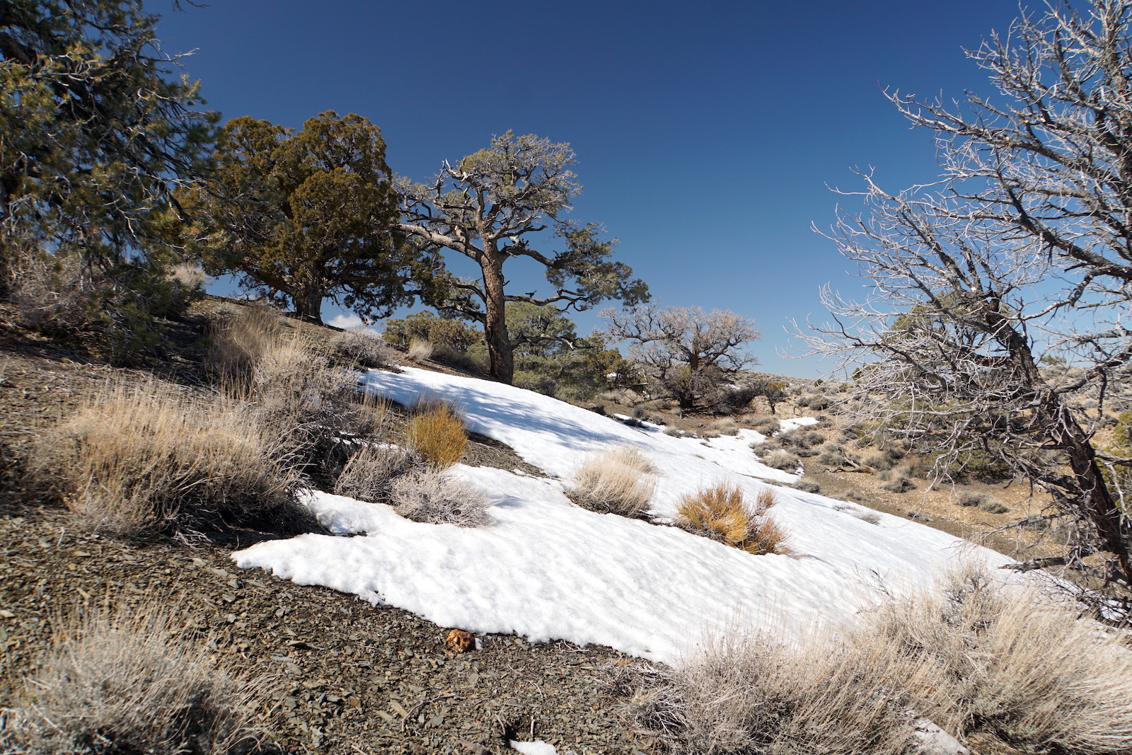
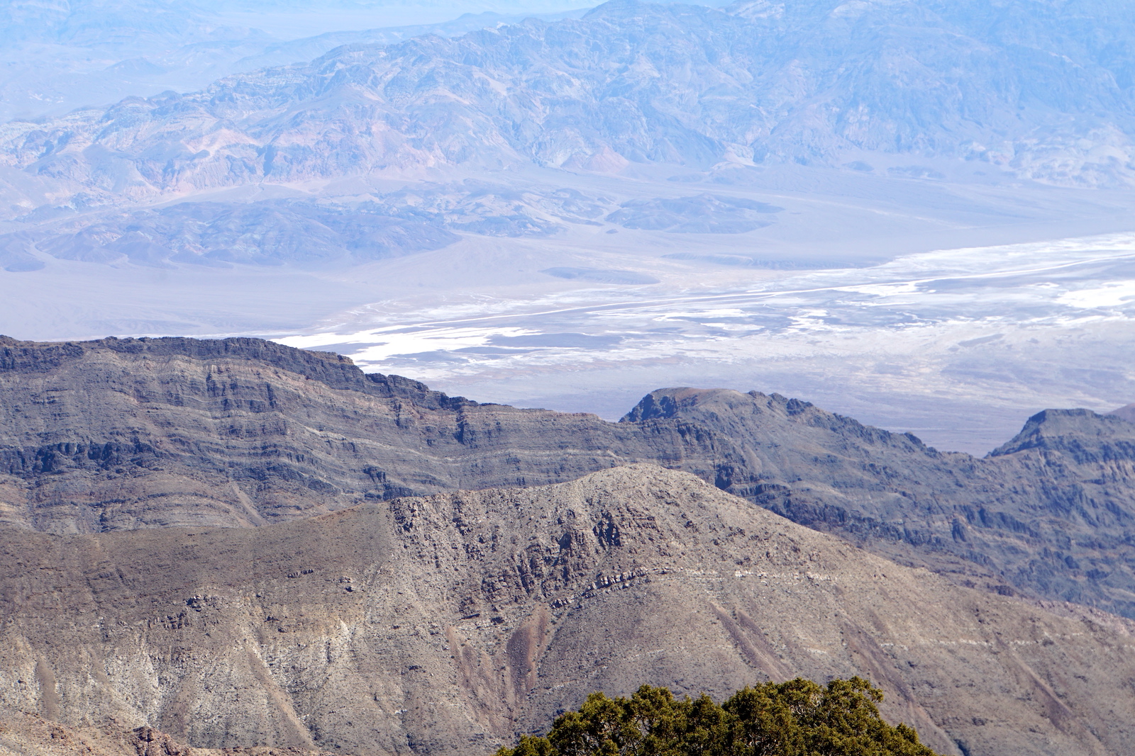
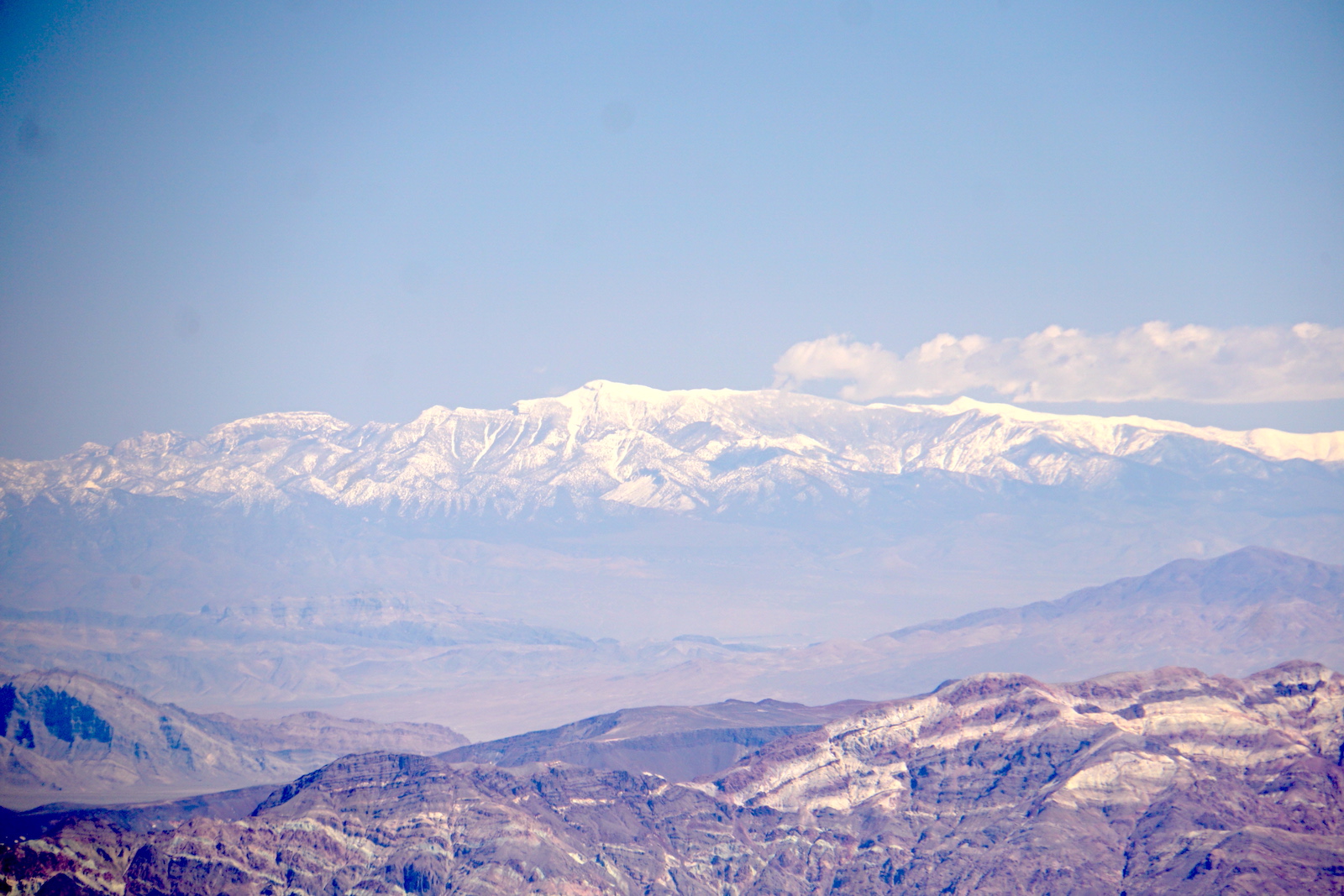
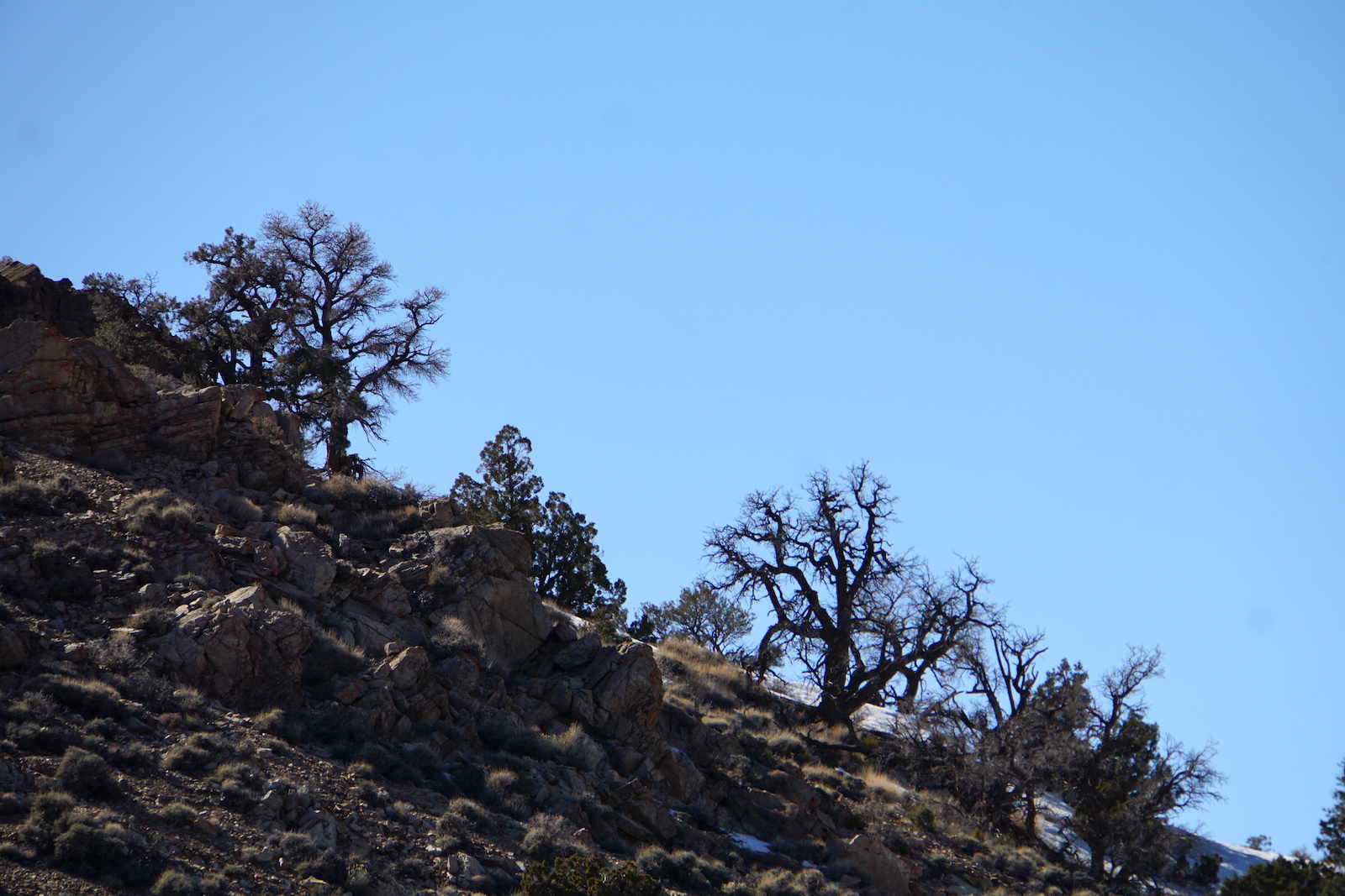
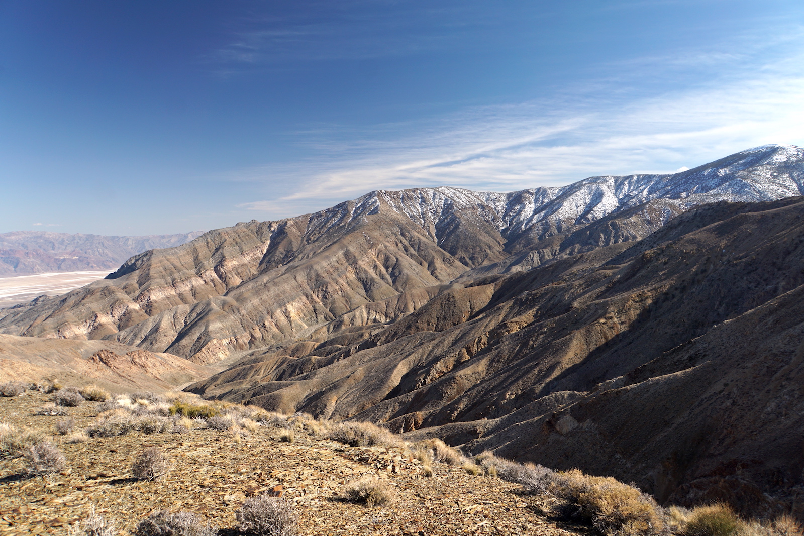
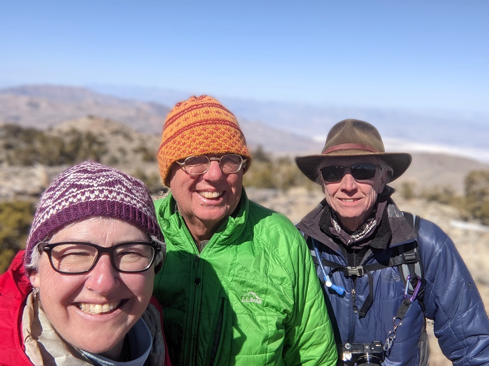
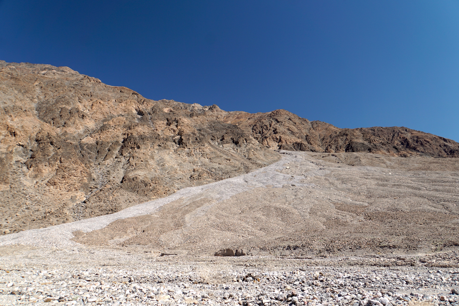
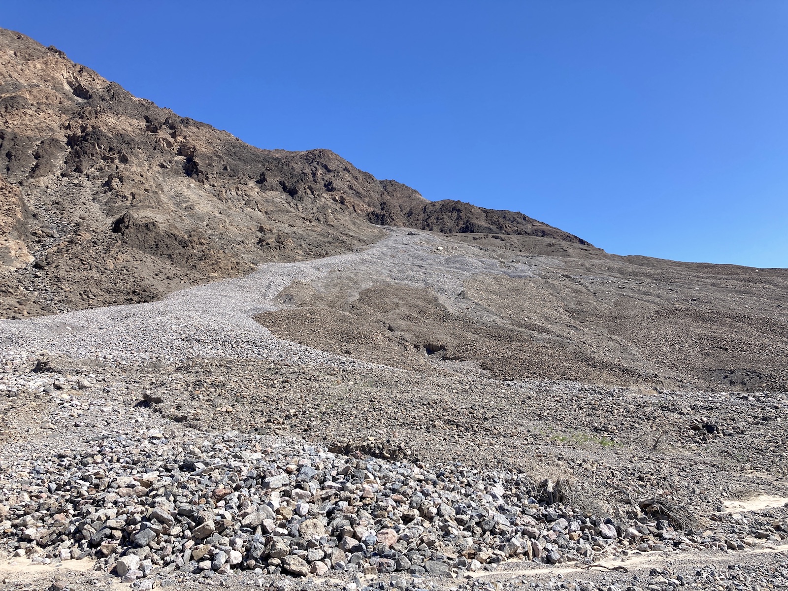
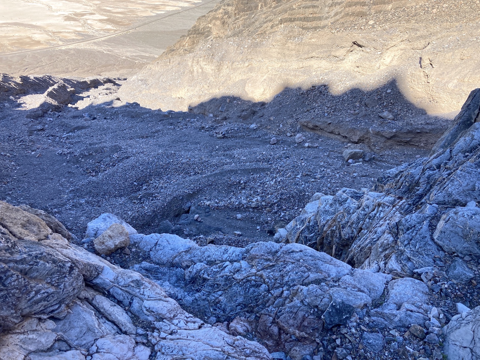
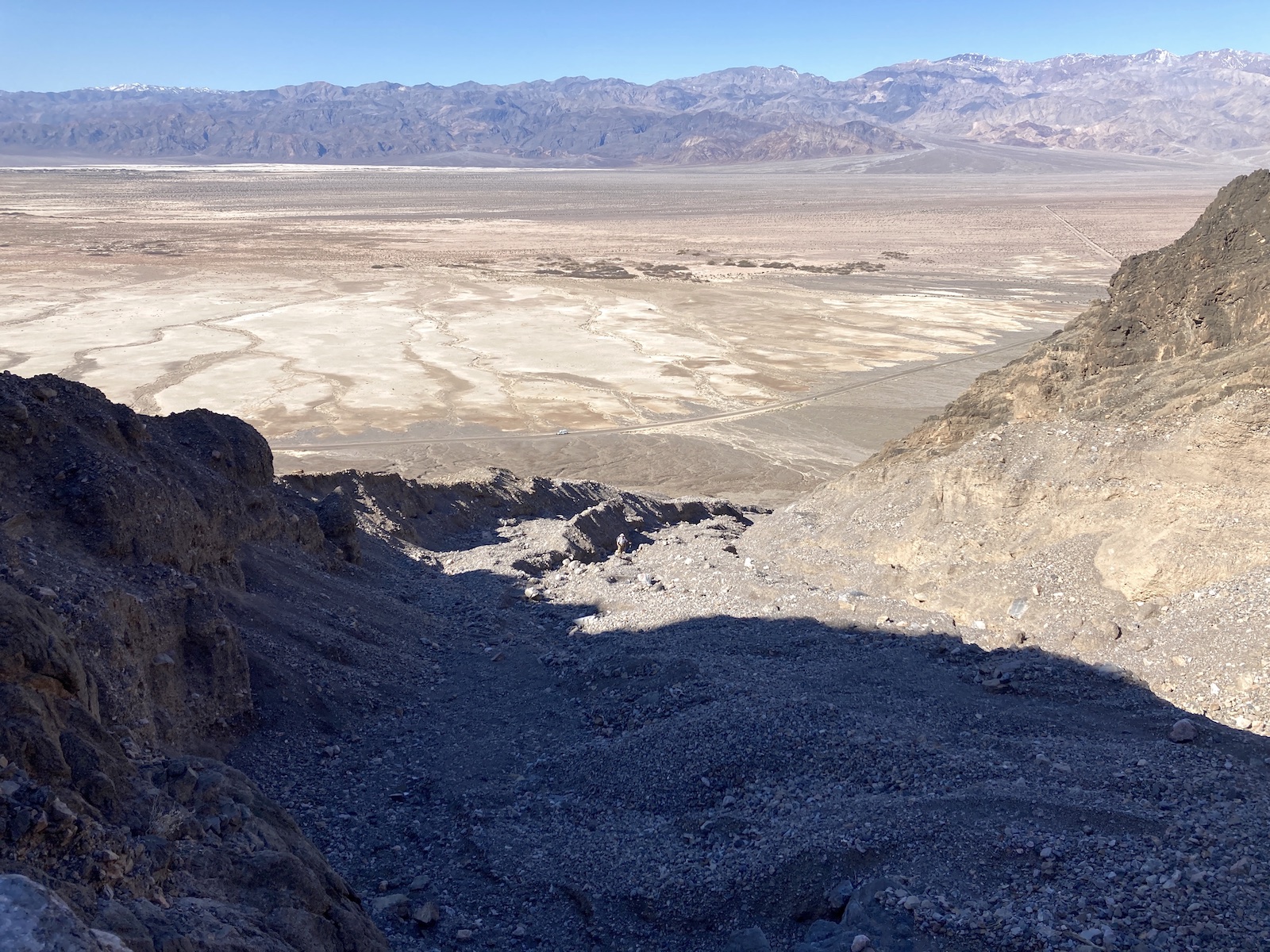
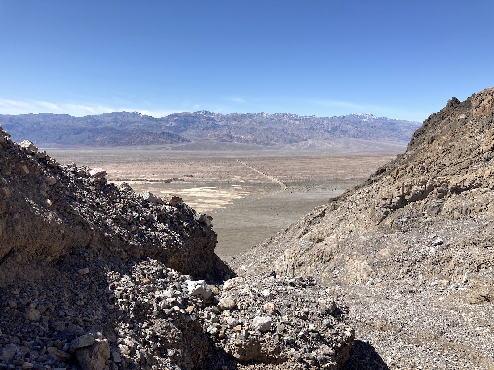
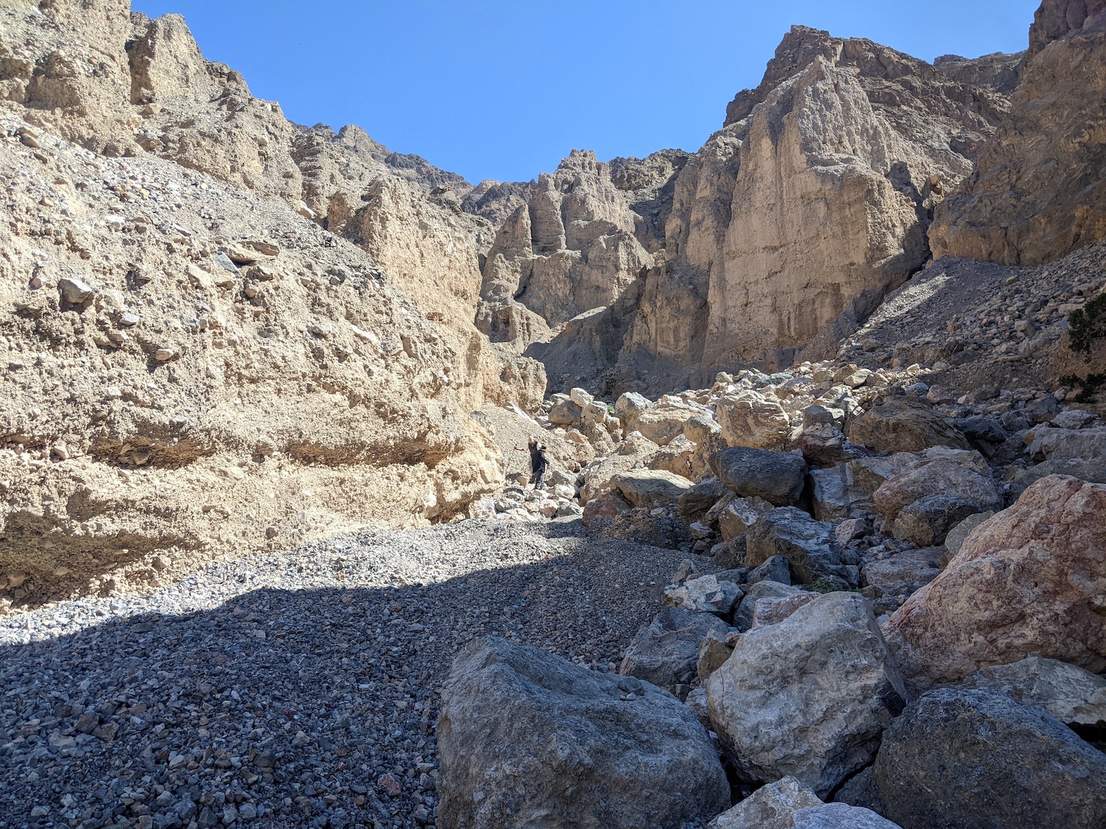
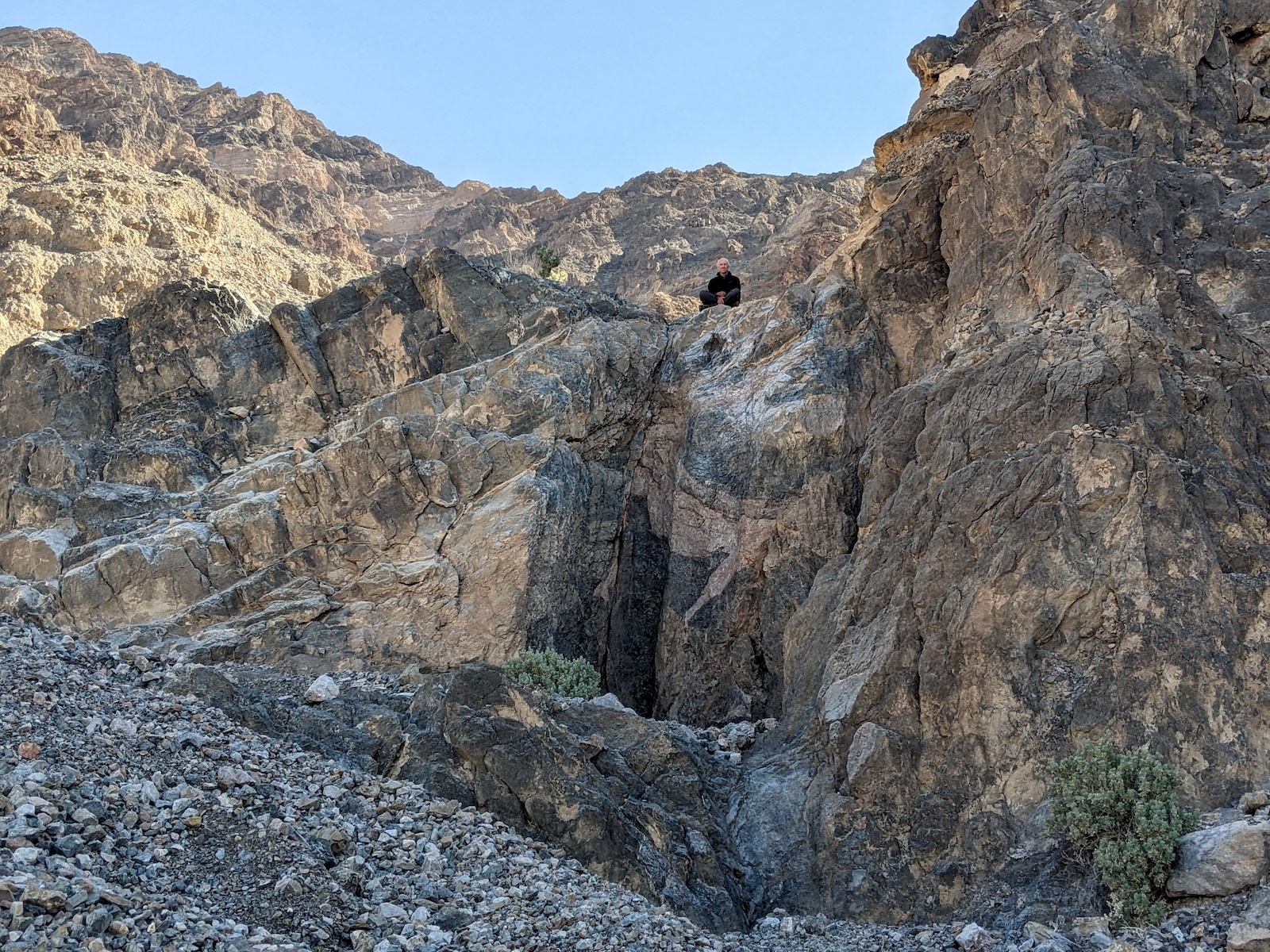
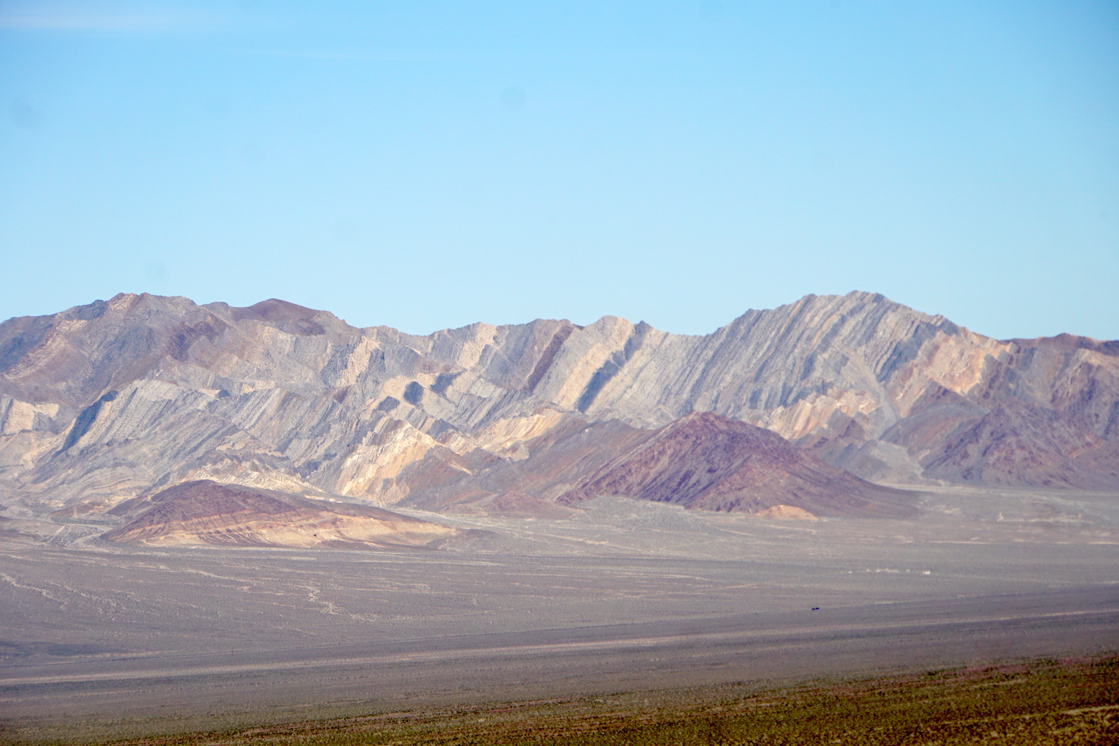
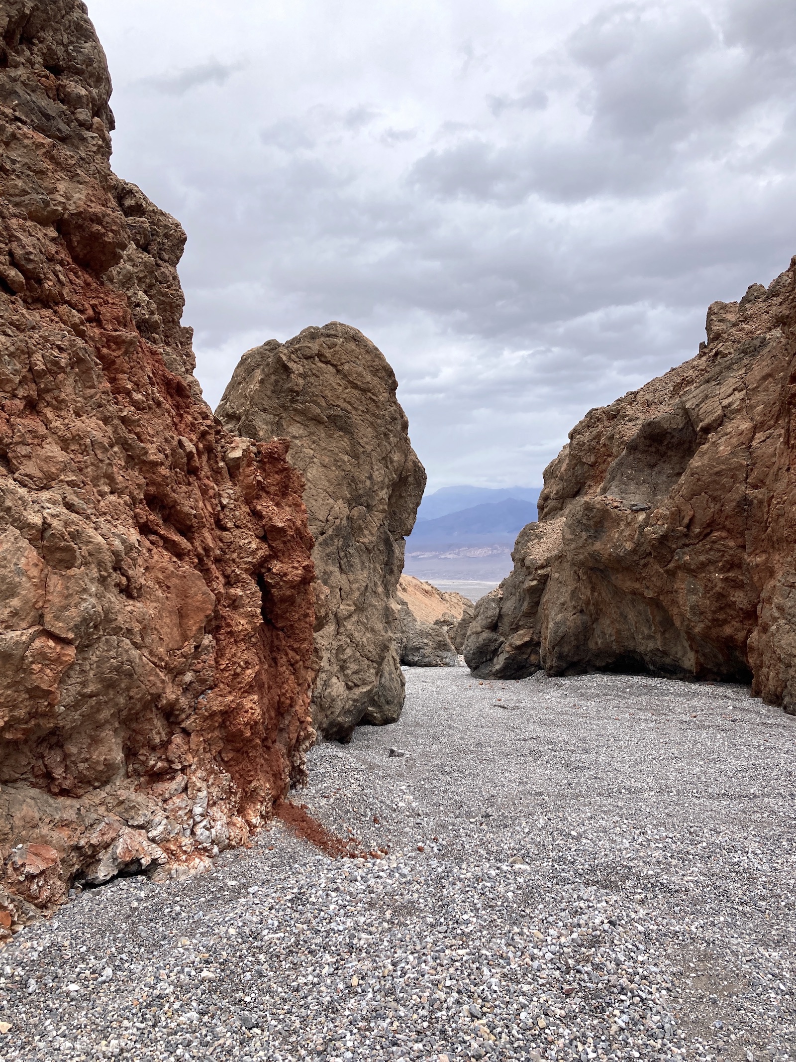
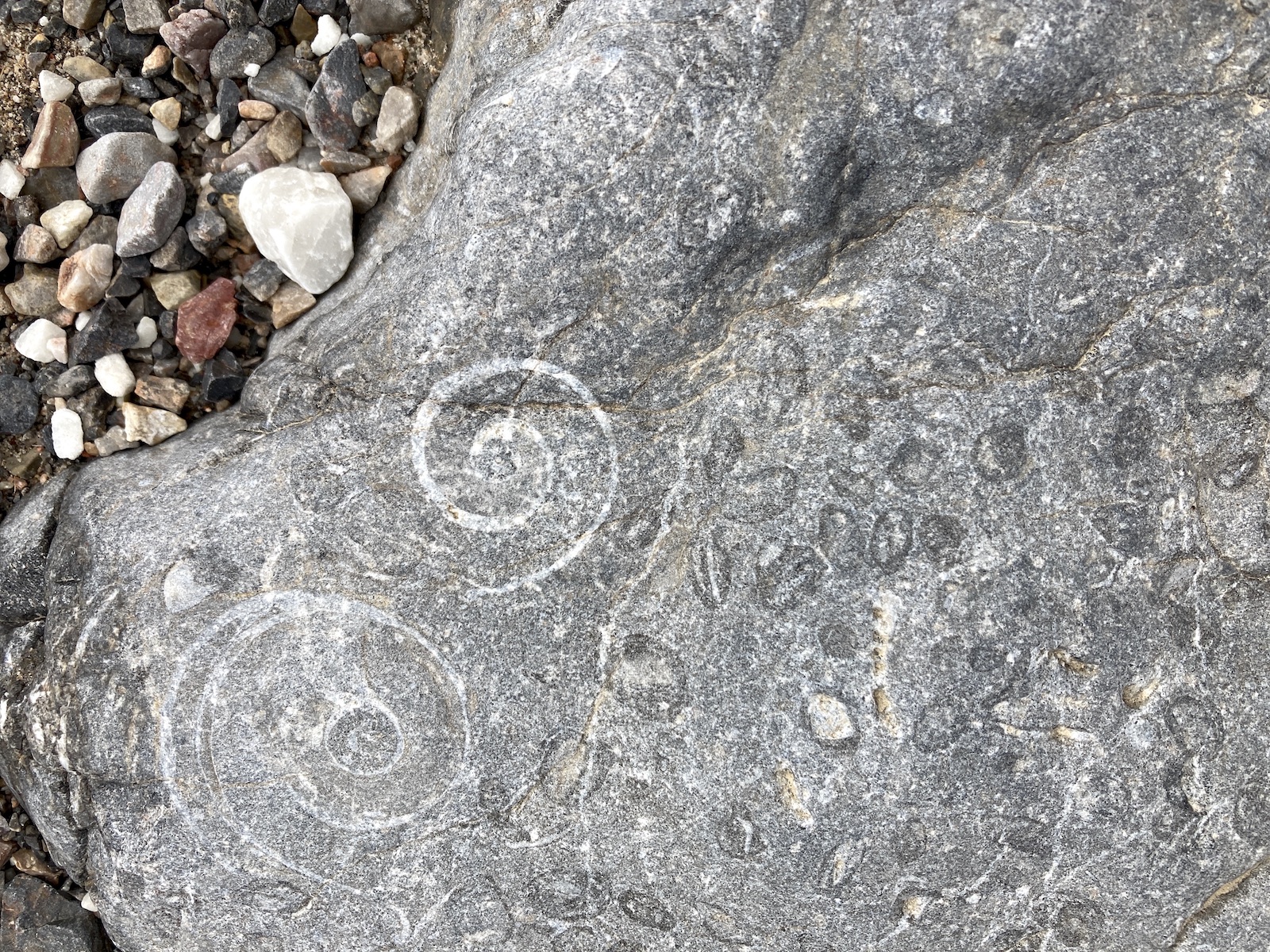
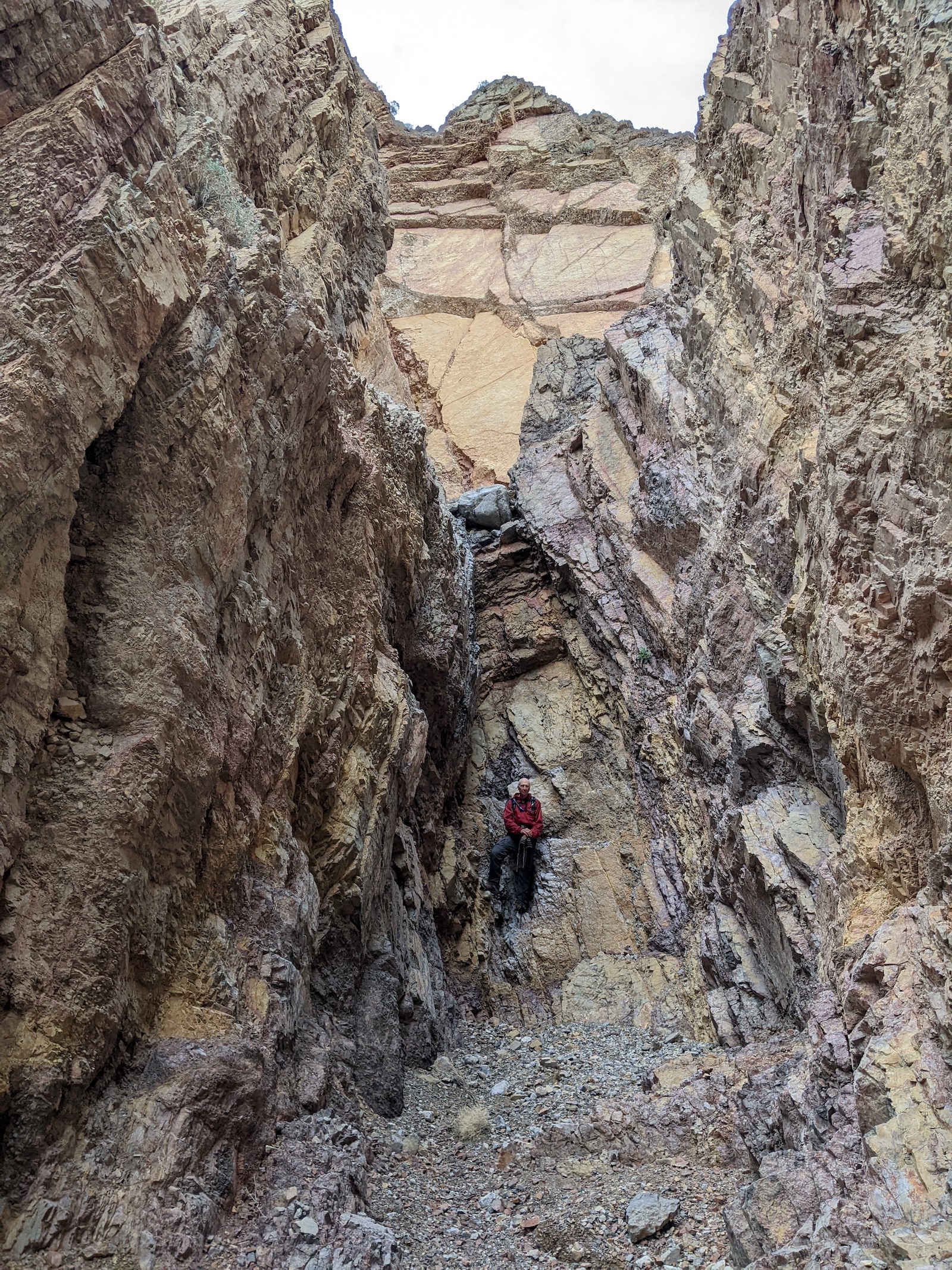
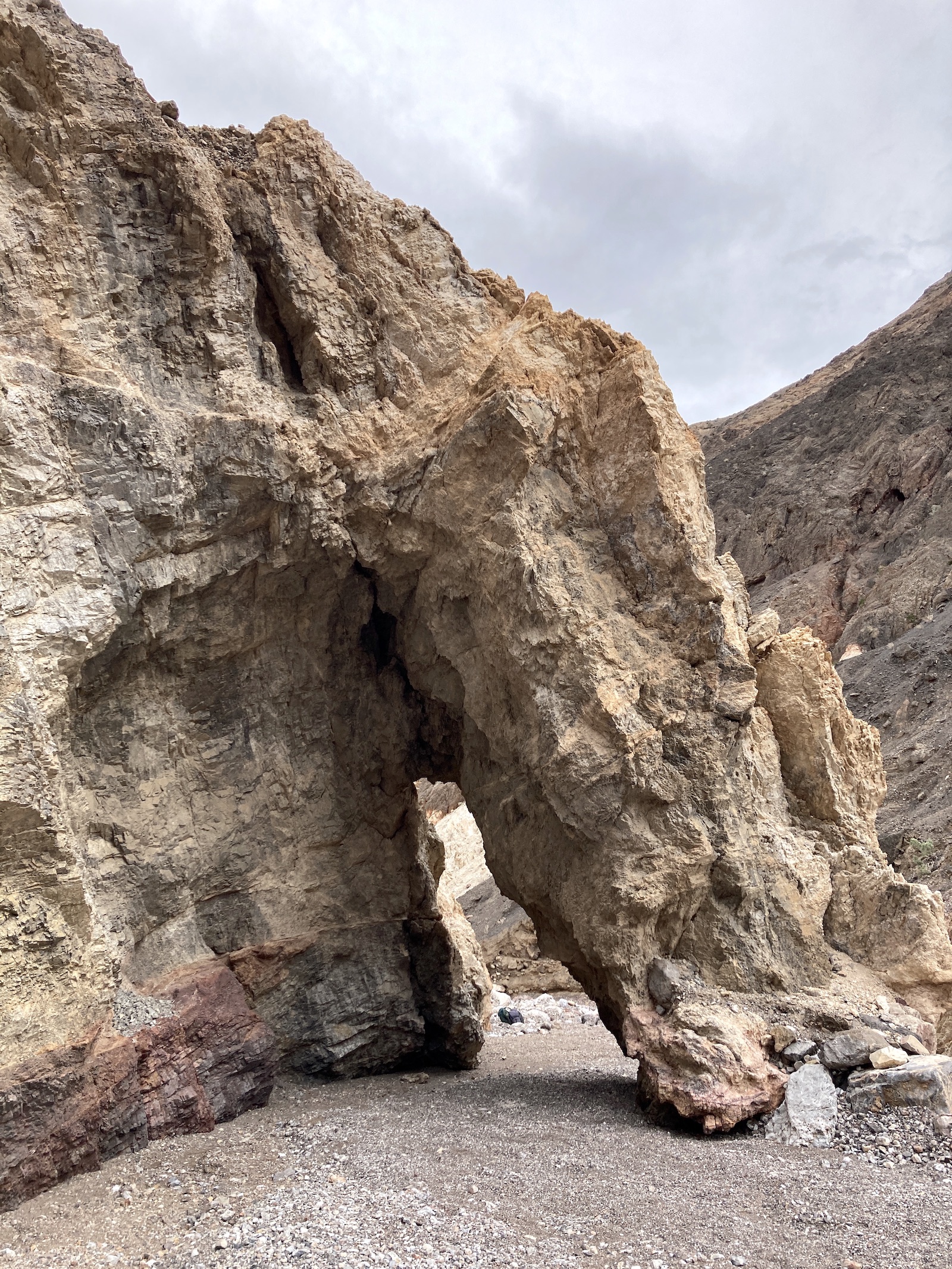
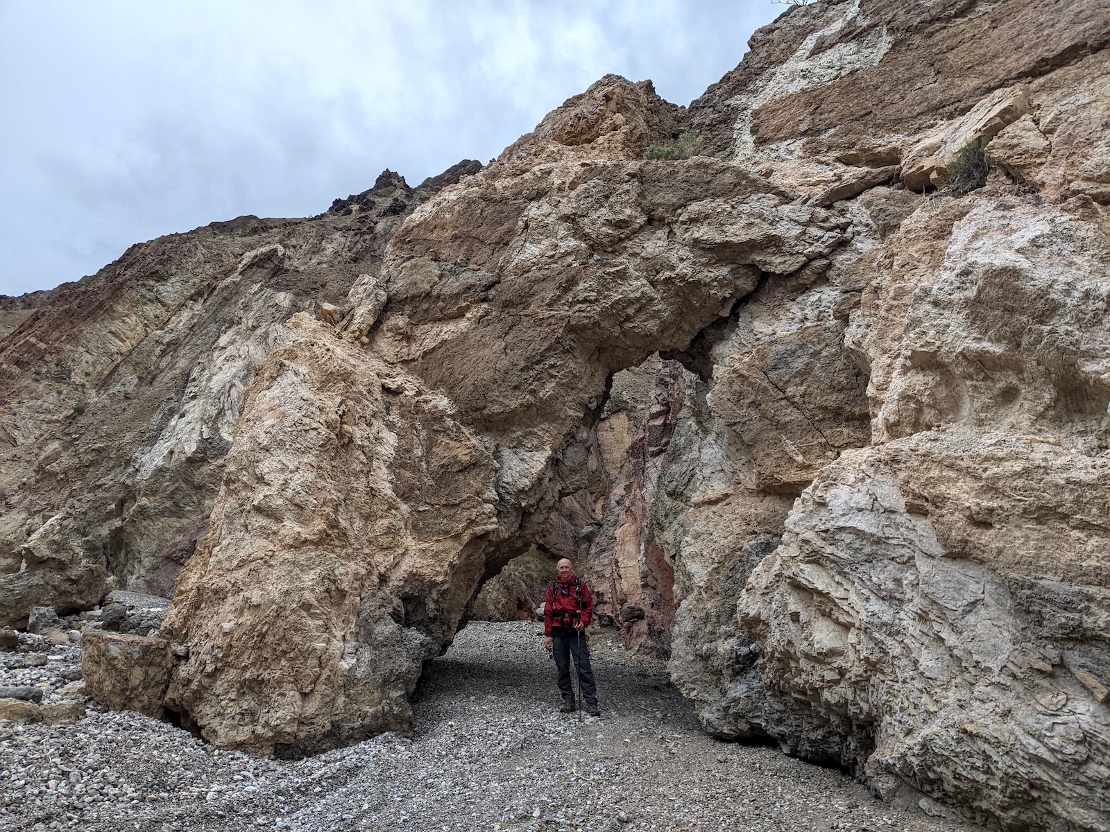
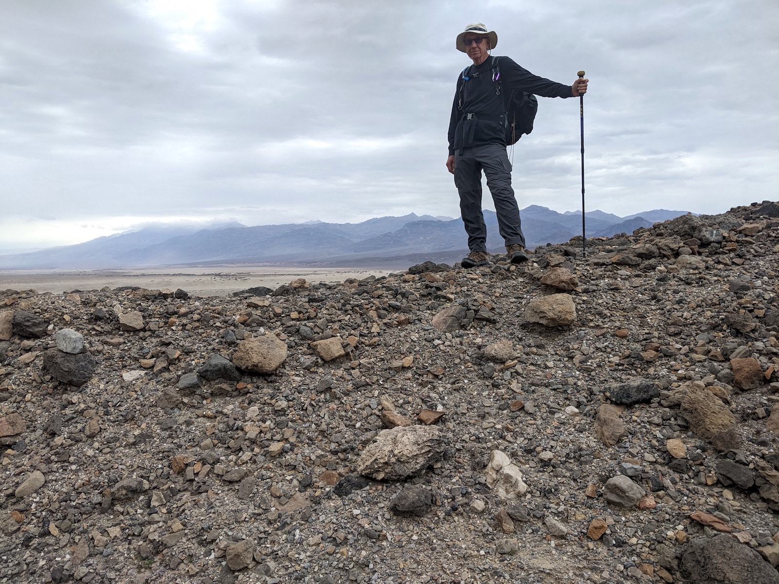
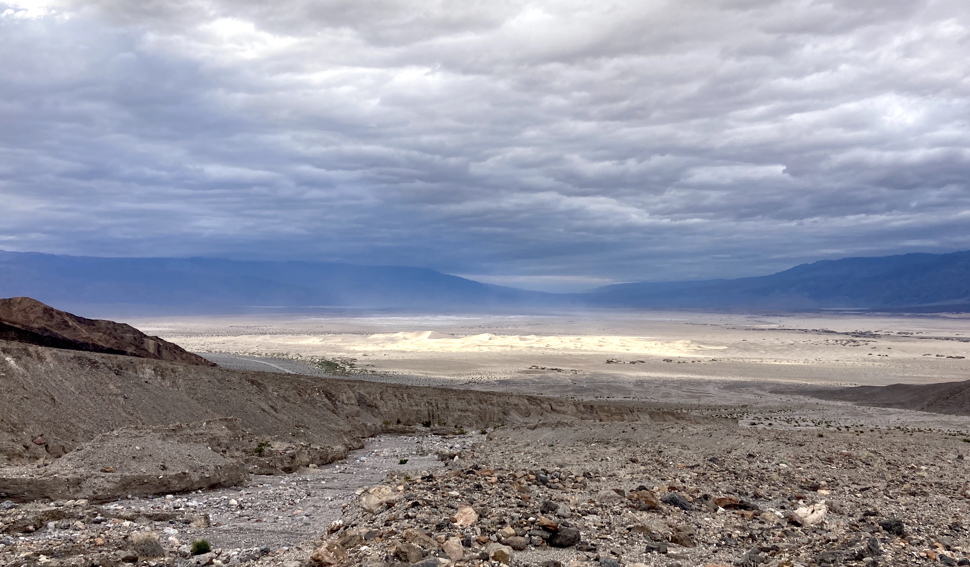
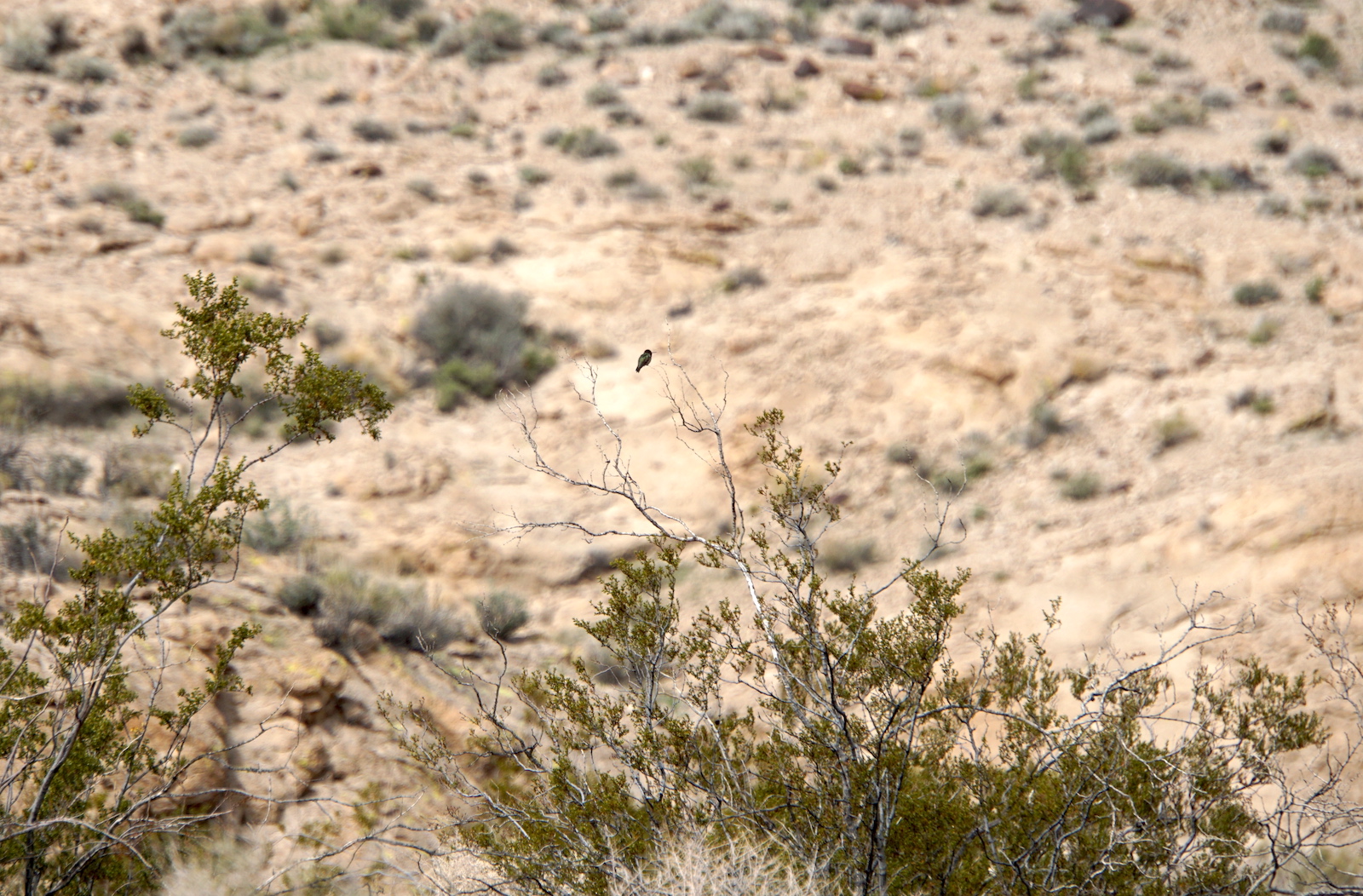
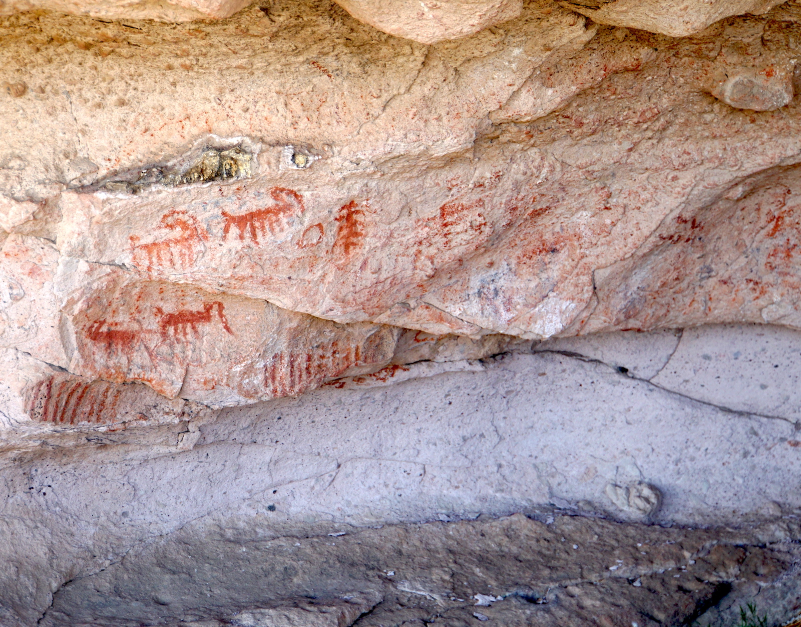
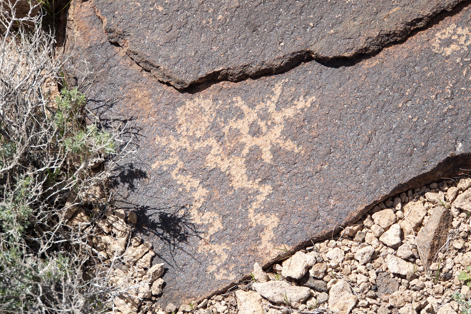
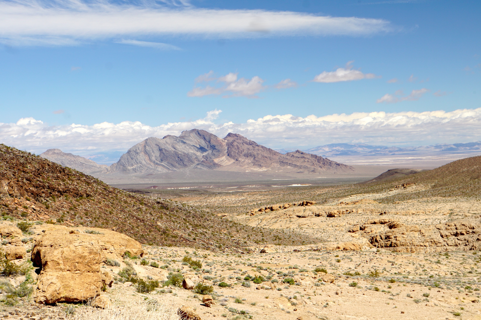
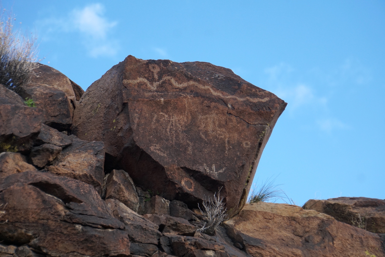
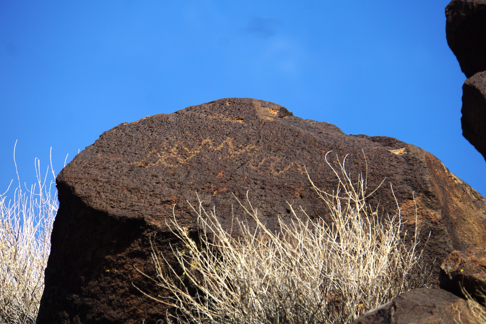
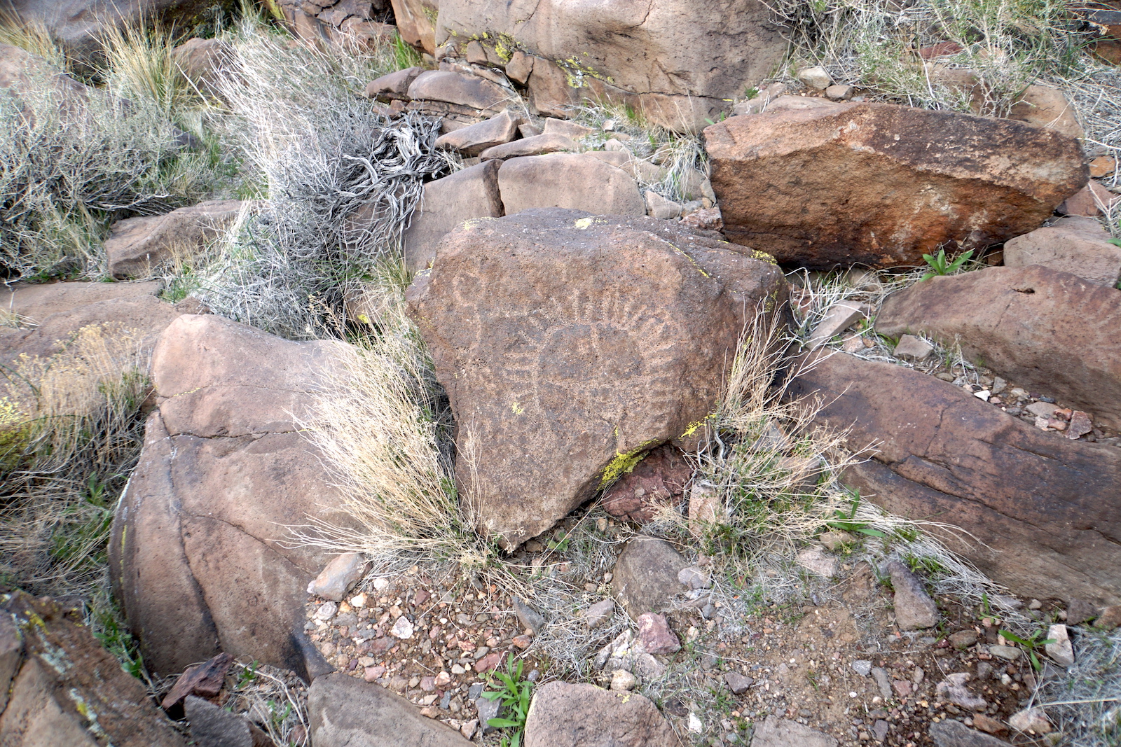
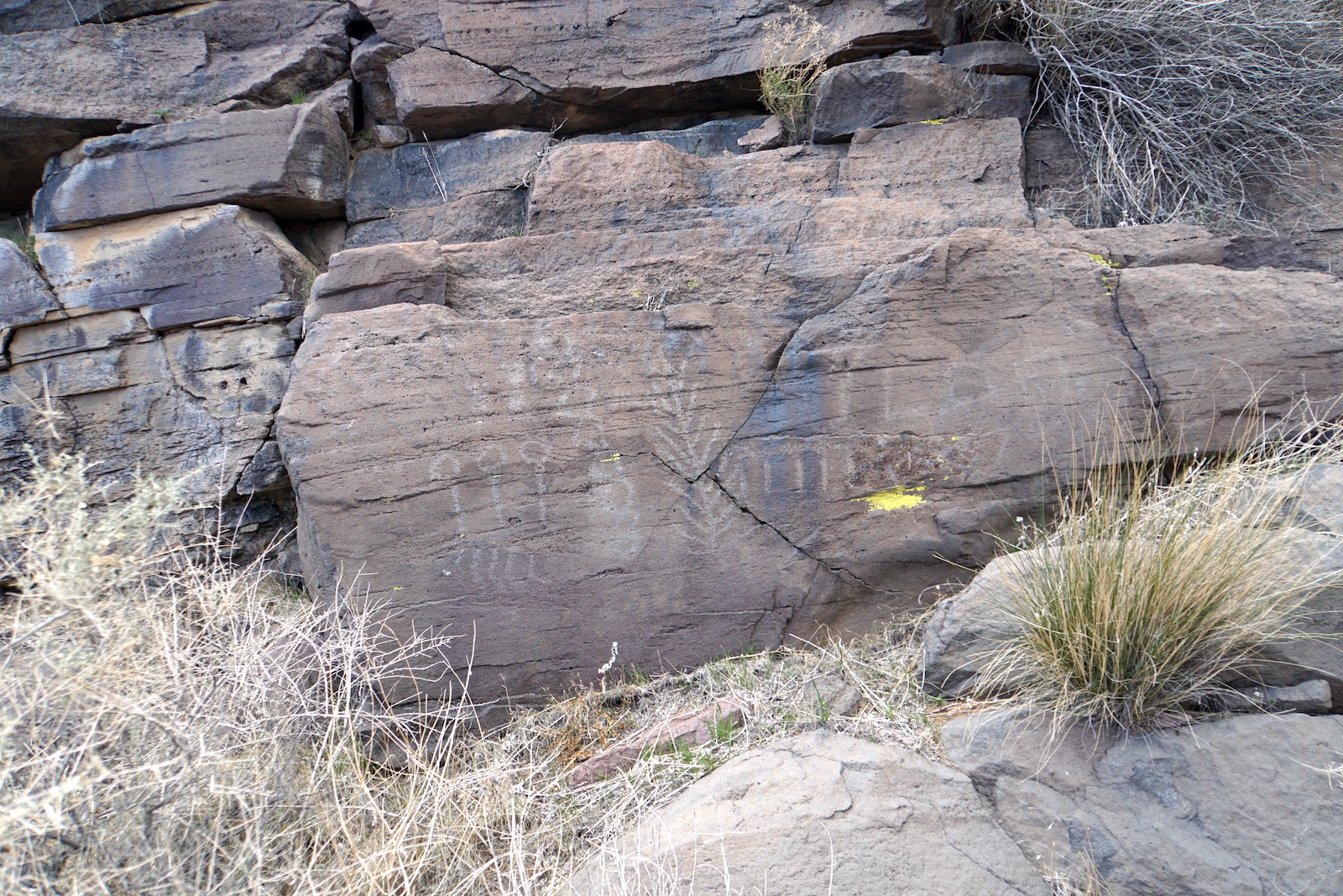
Each winter since 2001 I've taken a week-long trip to Death Valley to go hiking with my friend Chris Schmandt and his family.
Clicking on the images will display a larger version of the image.
All images are © Copyright
Eric A. Hulteen
2001 - 2012.
Edited on Wednesday 21 March 2012.
Borax BM: Overlooking Artist's Palette formations
Mormon Canyon: That's a juvenile
chuckwalla
Badwater
at sunset:
Revenue Canyon: In the Argus Range
Red Wall Canyon: In the Grapevine Mountains
Sand Canyon: In the Owlshead Mountains
A view of the eastern slopes of the Cottonwood Mountains taken from Stovepipe Wells before and after the snow on 26 February 2011 -- the snow line got down to about 2,000 feet.
Looking back at the Hole-in-the-Wall from the top of the boulders at the start of Undertaker Canyon and Widowmaker Falls at the top of Undertaker Canyon.
A lizard in Snow Canyon and the west side of the Panamint Range after hiking Snow Canyon.
The
sliding rocks
of
Racetrack Playa.
Corridor Canyon, the U-turn at the south end of the canyon (this is NOT a panorama -- it's a single frame taken with a 28mm lens), and petrified impressions.
Water flowing in the unnamed canyon that starts just north of the two water tanks on Emigrant Canyon Road.
Orange lichen in Jayhawker Canyon.
A fall in Black Point Canyon. On the way out of Black Point Canyon, looking back at the snow that fell as we hiked though it and looking to the east at the Grapevine Mountains with Death Valley Buttes to the right.
Peaks in the mountains to the west of the Panamint Valley.
South side of the entrance to Palmer Canyon.
Dry fall in the red rock of Palmer Canyon.
Valley in the mountains to the west of the Panamint Valley.
Me climbing rocks in Grotto Canyon.
The sunrise seen from Stovepipe Wells.
Me in Stretched Pebble Canyon.
Hills near the Greene-Denner-Drake Mill.
A storm swept through the valley on the 22nd blowing sand and dust in front of it and dropping rain behind. This picture was taken from the entrance to
Grotto Canyon.
They always say to stay out of the abandoned mines, but they are tempting.
Ben
(Chris' son) and me on the railroad grade.
If you look at the top quarter of the rock wall image you'll see me taking foolish risks climbing a dry fall in Monarch Canyon.
This image of the dune is blurry, but I included it to give some idea of the scale of the sand dunes near Stovepipe Wells—that's me wandering down the side of the dune.